MyTopo
Wildorado Texas US Topo Map
Couldn't load pickup availability
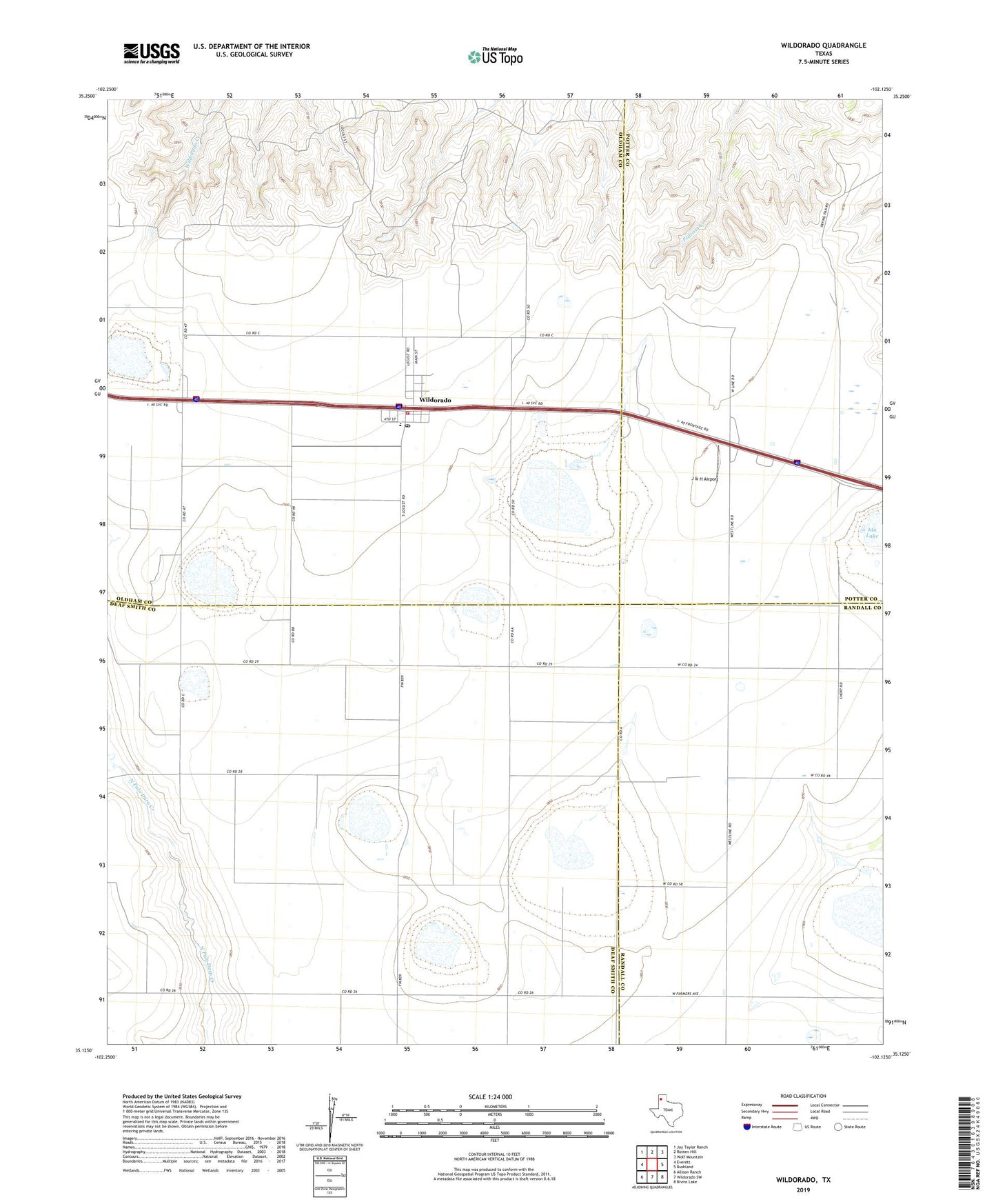
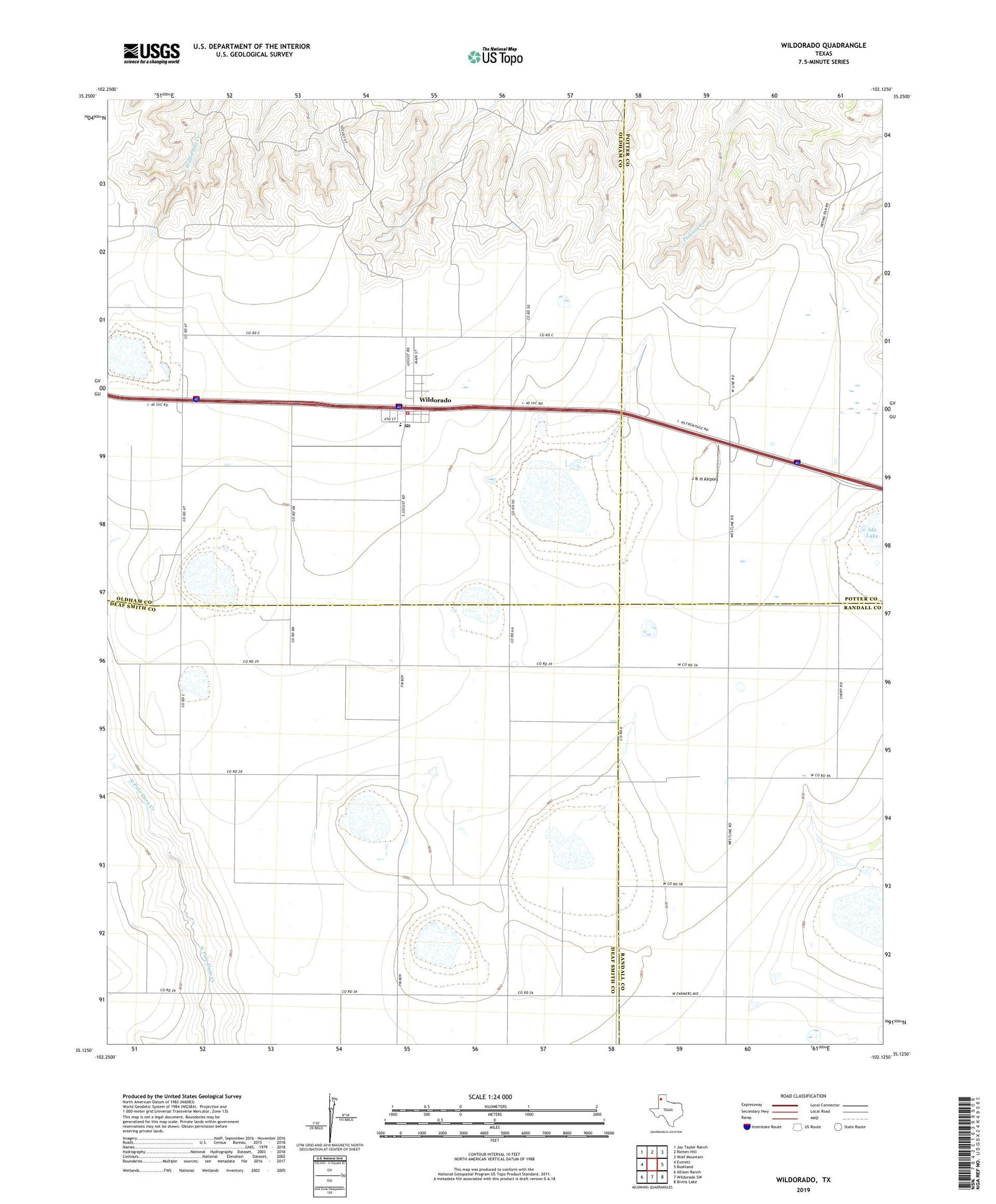
2019 topographic map quadrangle Wildorado in the state of Texas. Scale: 1:24000. Based on the newly updated USGS 7.5' US Topo map series, this map is in the following counties: Oldham, Deaf Smith, Potter, Randall. The map contains contour data, water features, and other items you are used to seeing on USGS maps, but also has updated roads and other features. This is the next generation of topographic maps. Printed on high-quality waterproof paper with UV fade-resistant inks.
Quads adjacent to this one:
West: Everett
Northwest: Jay Taylor Ranch
North: Rotten Hill
Northeast: Wolf Mountain
East: Bushland
Southeast: Bivins Lake
South: Wildorado SW
Southwest: Allison Ranch
Contains the following named places: Bynum Ranch, Highland School, J & H Airport, Wildorado, Wildorado Census Designated Place, Wildorado Post Office, Wildorado Volunteer Fire Department, ZIP Code: 79098