MyTopo
Wildorado SW Texas US Topo Map
Couldn't load pickup availability
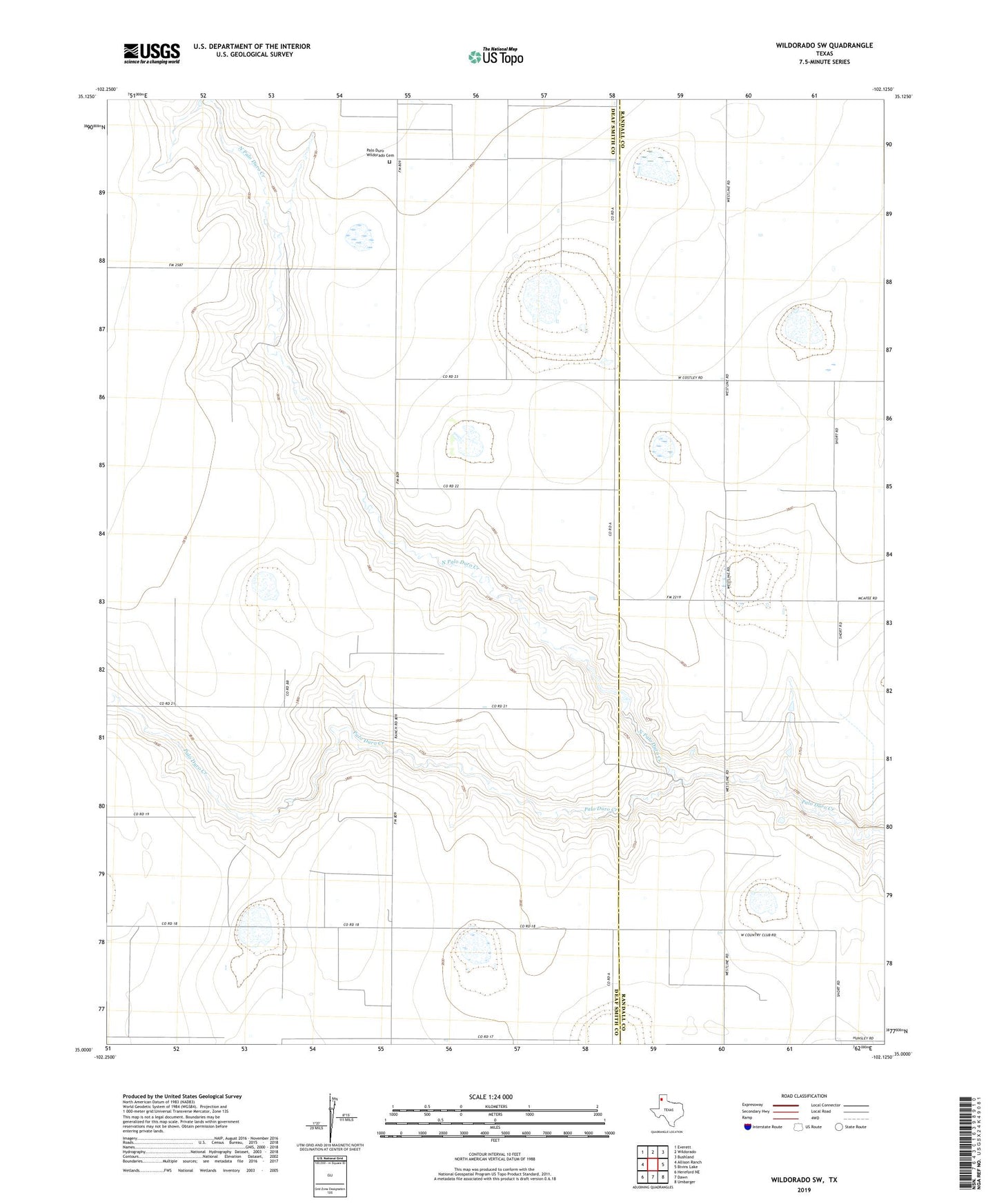
2022 topographic map quadrangle Wildorado SW in the state of Texas. Scale: 1:24000. Based on the newly updated USGS 7.5' US Topo map series, this map is in the following counties: Deaf Smith, Randall. The map contains contour data, water features, and other items you are used to seeing on USGS maps, but also has updated roads and other features. This is the next generation of topographic maps. Printed on high-quality waterproof paper with UV fade-resistant inks.
Quads adjacent to this one:
West: Allison Ranch
Northwest: Everett
North: Wildorado
Northeast: Bushland
East: Bivins Lake
Southeast: Umbarger
South: Dawn
Southwest: Hereford NE
This map covers the same area as the classic USGS quad with code o35102a2.
Contains the following named places: Kimball Farm Service Inc Airport, Moore Airport, North Palo Duro Creek, Palo Duro Church, Palo Duro Wildorado Cemetery, Roy Gwyn Ranch Lake, Roy Gwyn Ranch Lake Dam