MyTopo
Bushland Texas US Topo Map
Couldn't load pickup availability
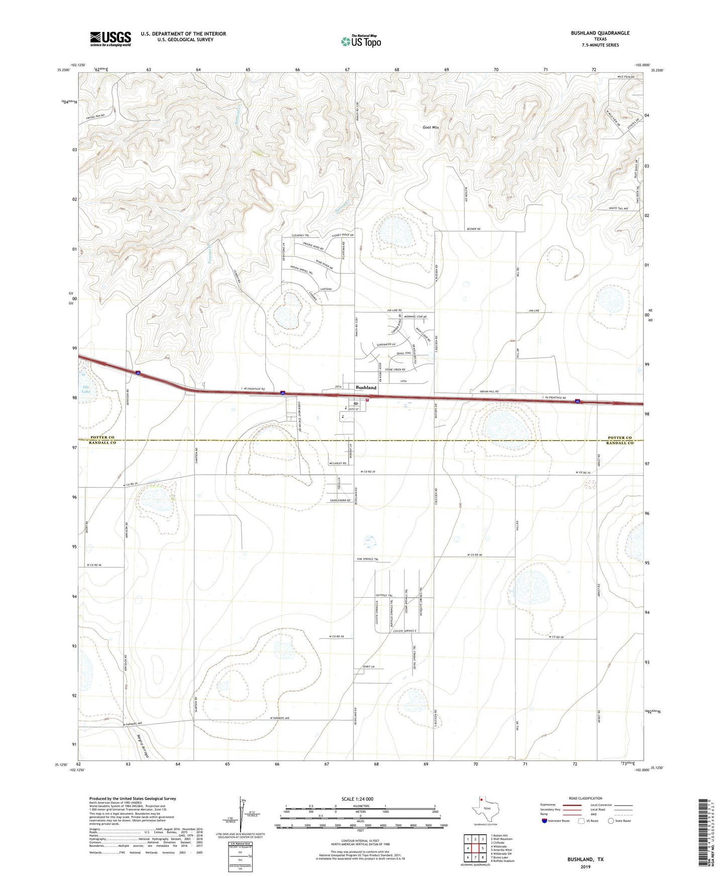
2022 topographic map quadrangle Bushland in the state of Texas. Scale: 1:24000. Based on the newly updated USGS 7.5' US Topo map series, this map is in the following counties: Potter, Randall. The map contains contour data, water features, and other items you are used to seeing on USGS maps, but also has updated roads and other features. This is the next generation of topographic maps. Printed on high-quality waterproof paper with UV fade-resistant inks.
Quads adjacent to this one:
West: Wildorado
Northwest: Rotten Hill
North: Wolf Mountain
Northeast: Cliffside
East: Amarillo West
Southeast: Buffalo Stadium
South: Bivins Lake
Southwest: Wildorado SW
This map covers the same area as the classic USGS quad with code o35102b1.
Contains the following named places: Bushland, Bushland Census Designated Place, Bushland Post Office, Bushland Volunteer Fire Department, Goat Mountain, Ida Lake, Potter County Fire Rescue Station 1, Tecovas Pond, Tecovas Pond Dam