
MyTopo
Woodard Lake Texas US Topo Map
Couldn't load pickup availability
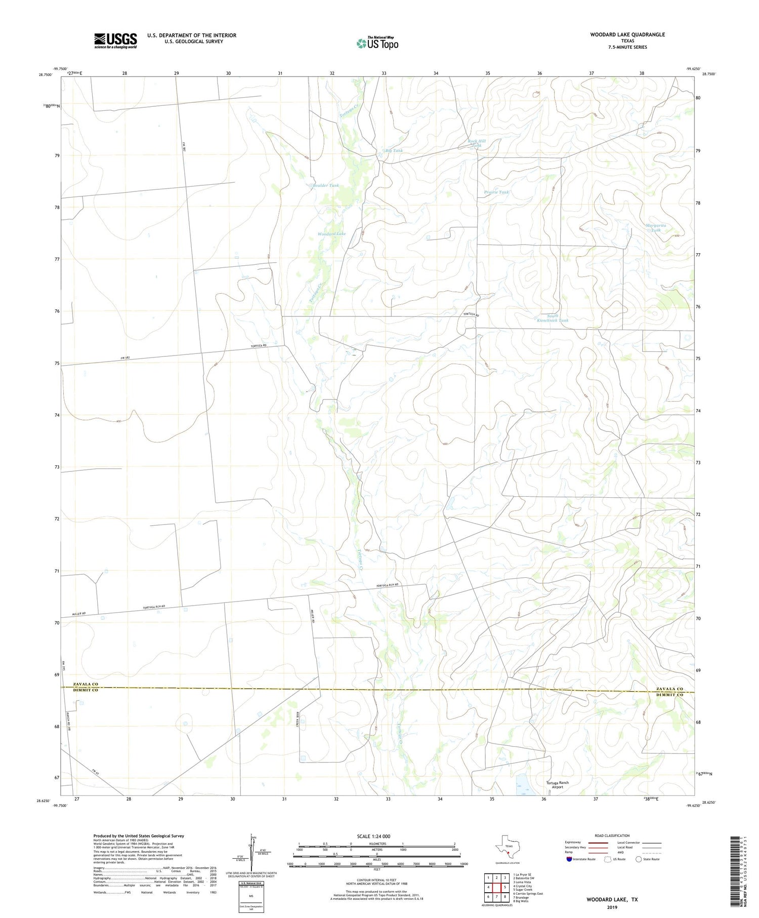
2019 topographic map quadrangle Woodard Lake in the state of Texas. Scale: 1:24000. Based on the newly updated USGS 7.5' US Topo map series, this map is in the following counties: Zavala, Dimmit. The map contains contour data, water features, and other items you are used to seeing on USGS maps, but also has updated roads and other features. This is the next generation of topographic maps. Printed on high-quality waterproof paper with UV fade-resistant inks.
Quads adjacent to this one:
West: Crystal City
Northwest: La Pryor SE
North: Batesville SW
Northeast: Loma Vista
East: Sugar Creek
Southeast: Big Wells
South: Brundage
Southwest: Carrizo Springs East
Contains the following named places: Big Tank, Boulder Tank, Kieschnick Ranch, Margarita Tank, Prairie Tank, Rock Hill Tank, Slyder Lake, Slyder Lake Dam, South Kieschnick Tank, Tortuga Ranch Airport, Woodard Lake


