
MyTopo
Yarrelton Texas US Topo Map
Couldn't load pickup availability
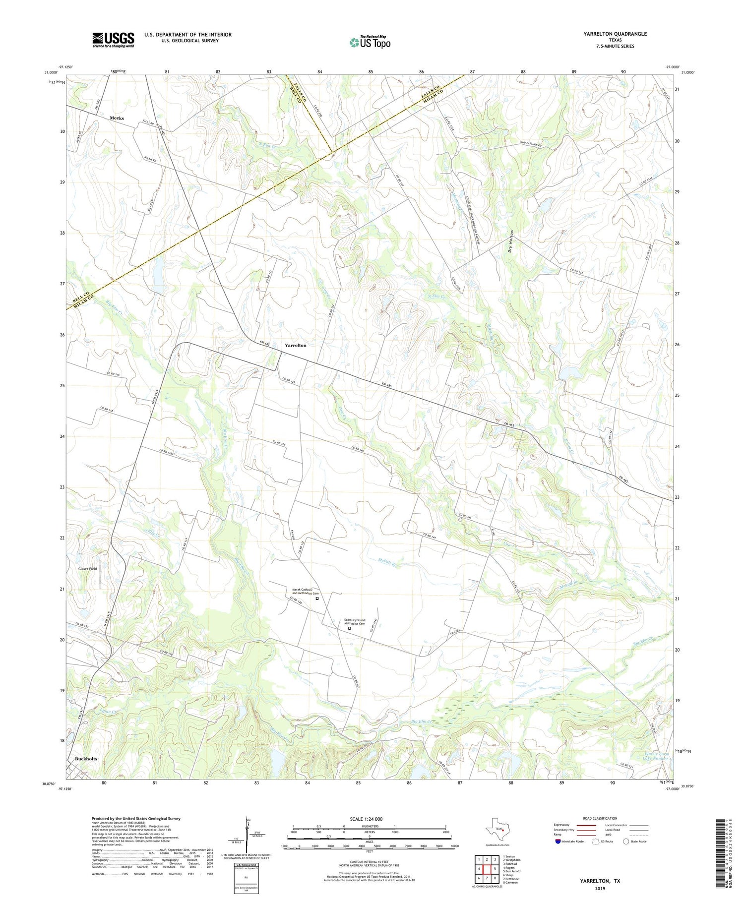
2019 topographic map quadrangle Yarrelton in the state of Texas. Scale: 1:24000. Based on the newly updated USGS 7.5' US Topo map series, this map is in the following counties: Milam, Bell, Falls. The map contains contour data, water features, and other items you are used to seeing on USGS maps, but also has updated roads and other features. This is the next generation of topographic maps. Printed on high-quality waterproof paper with UV fade-resistant inks.
Quads adjacent to this one:
West: Rogers
Northwest: Seaton
North: Westphalia
Northeast: Rosebud
East: Ben Arnold
Southeast: Cameron
South: Pettibone
Southwest: Sharp
Contains the following named places: Camp Creek, Cottonwood Creek, Cow Creek, Dry Hollow, Glaser Field, Lipan Creek, Marak, Marak Catholic and Methodius Cemetery, McFall Branch, Meeks, Mustang Creek, North Elm, Saints Cyril and Methodius Cemetery, South Elm Creek, Yarrelton


