MyTopo
Black Butte Utah US Topo Map
Couldn't load pickup availability
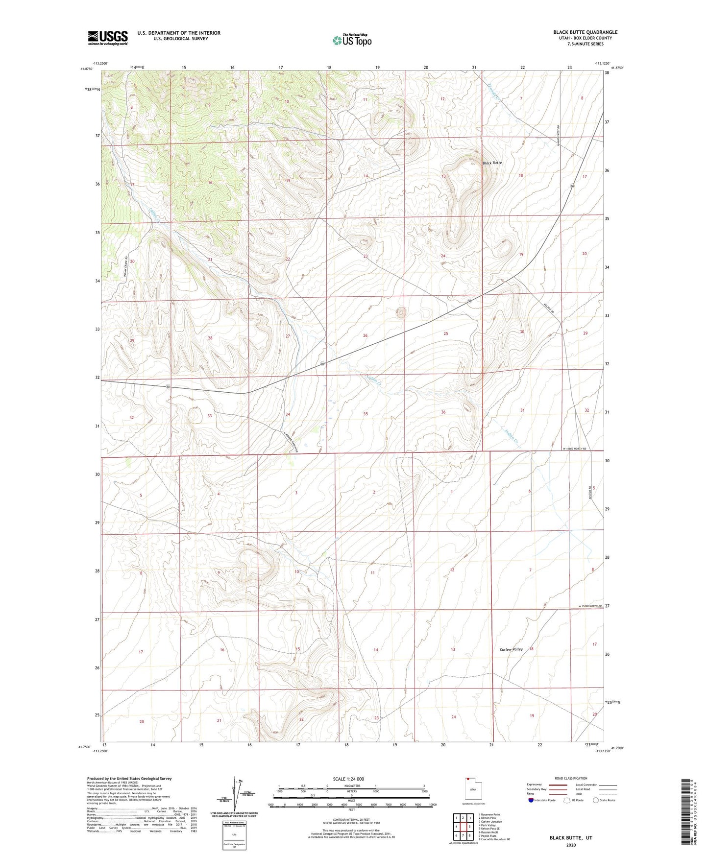
2020 topographic map quadrangle Black Butte in the state of Utah. Scale: 1:24000. Based on the newly updated USGS 7.5' US Topo map series, this map is in the following counties: Box Elder. The map contains contour data, water features, and other items you are used to seeing on USGS maps, but also has updated roads and other features. This is the next generation of topographic maps. Printed on high-quality waterproof paper with UV fade-resistant inks.
Quads adjacent to this one:
West: Park Valley
Northwest: Rosevere Point
North: Kelton Pass
Northeast: Curlew Junction
East: Kelton Pass SE
Southeast: Crocodile Mountain NE
South: Peplin Flats
Southwest: Russian Knoll
Contains the following named places: Bar F Ranch, Black Butte, Indian Creek, Morris Ranch, South Fork Indian Creek