MyTopo
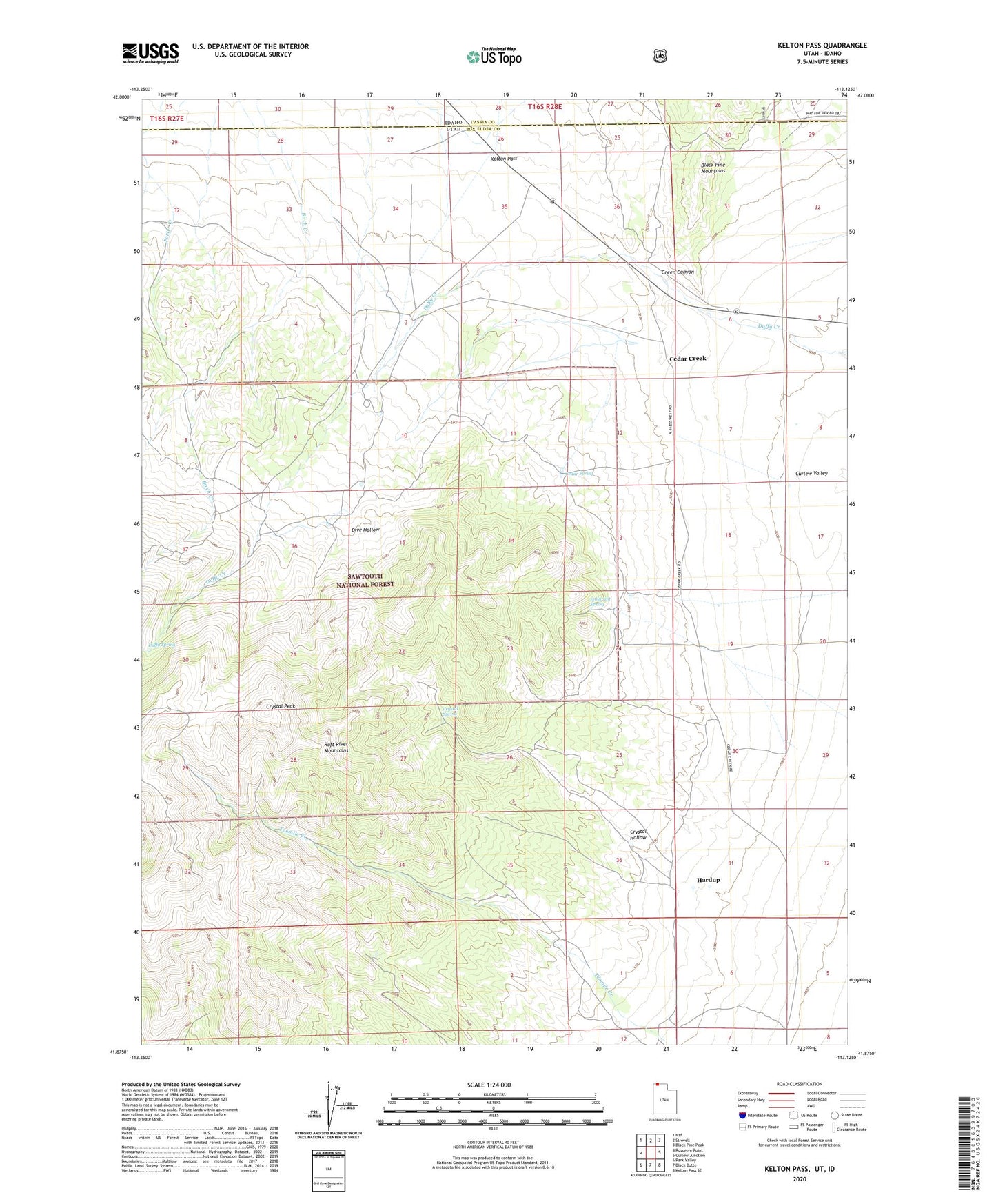
Kelton Pass Utah US Topo Map
Couldn't load pickup availability
Also explore the Kelton Pass Forest Service Topo of this same quad for updated USFS data
2023 topographic map quadrangle Kelton Pass in the state of Utah. Scale: 1:24000. Based on the newly updated USGS 7.5' US Topo map series, this map is in the following counties: Box Elder, Cassia. The map contains contour data, water features, and other items you are used to seeing on USGS maps, but also has updated roads and other features. This is the next generation of topographic maps. Printed on high-quality waterproof paper with UV fade-resistant inks.
Quads adjacent to this one:
West: Rosevere Point
Northwest: Naf
North: Strevell
Northeast: Black Pine Peak
East: Curlew Junction
Southeast: Kelton Pass SE
South: Black Butte
Southwest: Park Valley
This map covers the same area as the classic USGS quad with code o41113h2.
Contains the following named places: Cedar Creek, Cedar Spring, Crystal Hollow, Crystal Peak, Crystal Spring, Dive Hollow, Duffy Spring, Emigrant Spring, Green Canyon, Hardup, Kelton Pass, Lambert Ranch, Old Stage Station, The Tenmile Place, Vern Steeds Ranch