MyTopo
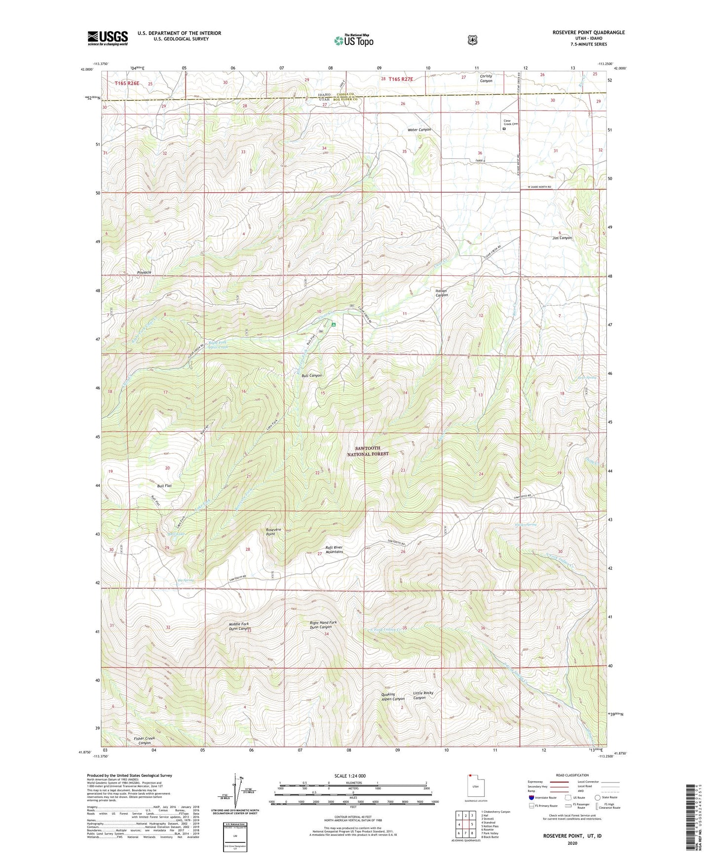
Rosevere Point Utah US Topo Map
Couldn't load pickup availability
Also explore the Rosevere Point Forest Service Topo of this same quad for updated USFS data
2023 topographic map quadrangle Rosevere Point in the state of Utah. Scale: 1:24000. Based on the newly updated USGS 7.5' US Topo map series, this map is in the following counties: Box Elder, Cassia. The map contains contour data, water features, and other items you are used to seeing on USGS maps, but also has updated roads and other features. This is the next generation of topographic maps. Printed on high-quality waterproof paper with UV fade-resistant inks.
Quads adjacent to this one:
West: Standrod
Northwest: Chokecherry Canyon
North: Naf
Northeast: Strevell
East: Kelton Pass
Southeast: Black Butte
South: Park Valley
Southwest: Rosette
This map covers the same area as the classic USGS quad with code o41113h3.
Contains the following named places: Big Spring, Birch Spring, Bull Canyon, Bull Flat, Bull Lake, Clear Creek, Clear Creek Campground, Clear Creek Cemetery, Hidden Spring, Italian Canyon, Jim Canyon, Lake Fork, North Fork Indian Creek, Pinnacle, Right Fork Clear Creek, Rosevere Fork, Rosevere Point, Water Canyon