MyTopo
Blacktail Mountain Utah US Topo Map
Couldn't load pickup availability
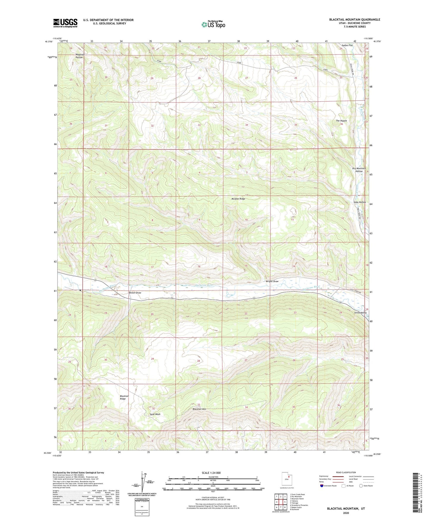
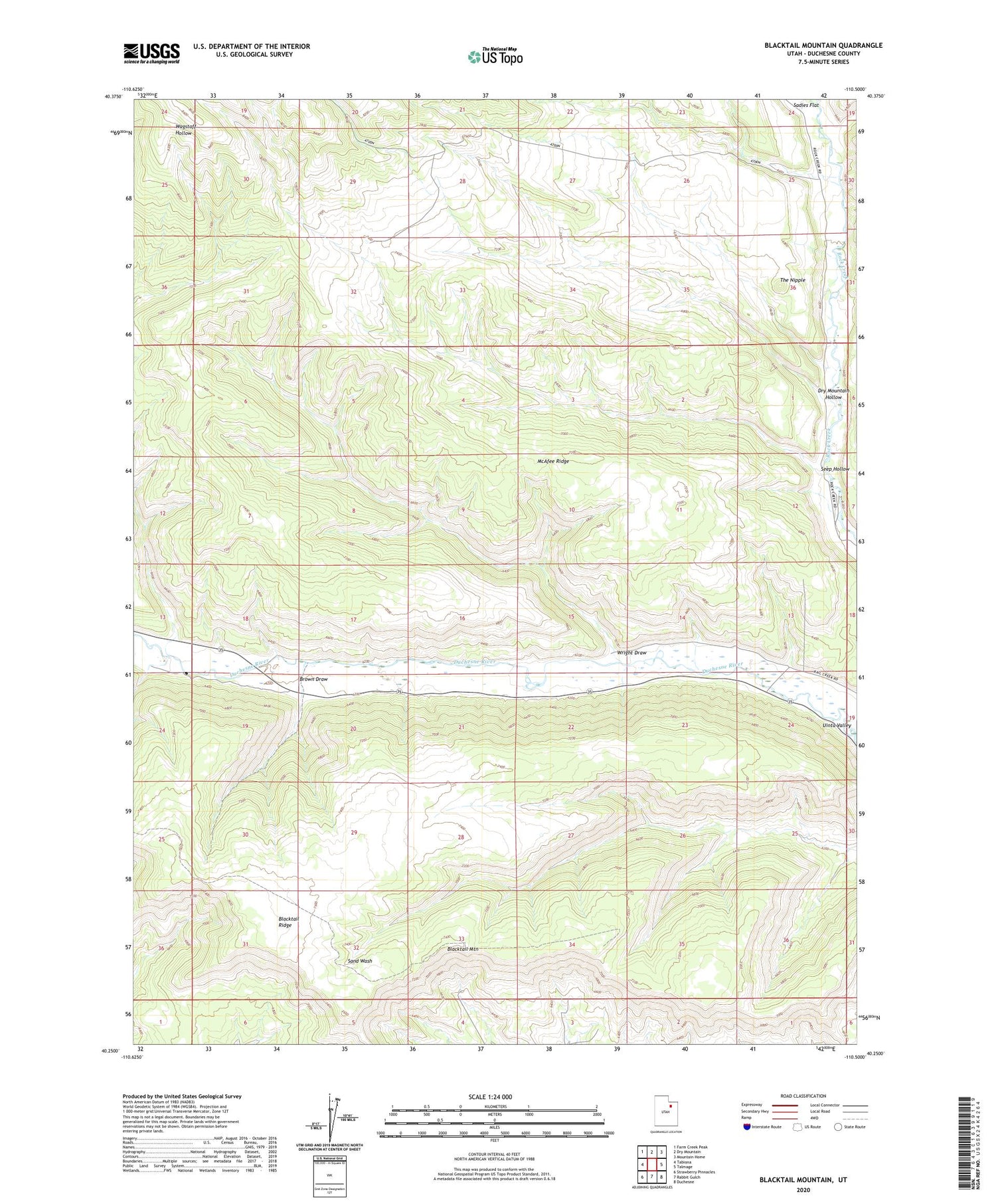
2020 topographic map quadrangle Blacktail Mountain in the state of Utah. Scale: 1:24000. Based on the newly updated USGS 7.5' US Topo map series, this map is in the following counties: Duchesne. The map contains contour data, water features, and other items you are used to seeing on USGS maps, but also has updated roads and other features. This is the next generation of topographic maps. Printed on high-quality waterproof paper with UV fade-resistant inks.
Quads adjacent to this one:
West: Tabiona
Northwest: Farm Creek Peak
North: Dry Mountain
Northeast: Mountain Home
East: Talmage
Southeast: Duchesne
South: Rabbit Gulch
Southwest: Strawberry Pinnacles
Contains the following named places: Blacktail Mountain, Brown Draw, Dry Mountain Hollow, McAfee Ridge, Seep Hollow, The Nipple, Wright Draw