MyTopo
Mountain Home Utah US Topo Map
Couldn't load pickup availability
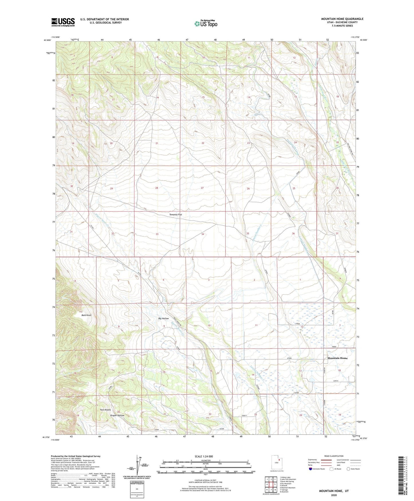
2023 topographic map quadrangle Mountain Home in the state of Utah. Scale: 1:24000. Based on the newly updated USGS 7.5' US Topo map series, this map is in the following counties: Duchesne. The map contains contour data, water features, and other items you are used to seeing on USGS maps, but also has updated roads and other features. This is the next generation of topographic maps. Printed on high-quality waterproof paper with UV fade-resistant inks.
Quads adjacent to this one:
West: Dry Mountain
Northwest: Kidney Lake
North: Lake Fork Mountain
Northeast: Burnt Mill Spring
East: Altonah
Southeast: Altamont
South: Talmage
Southwest: Blacktail Mountain
This map covers the same area as the classic USGS quad with code o40110d4.
Contains the following named places: Bald Knoll, Farnsworth Canal, Lateral Number 1, Lateral Number 2, Mountain Home, Petty Creek, Salt Creek, The Church of Jesus Christ of Latter Day Saints, Towanta Flat, Twin Knolls, ZIP Code: 84051