MyTopo
Brown Knoll Utah US Topo Map
Couldn't load pickup availability
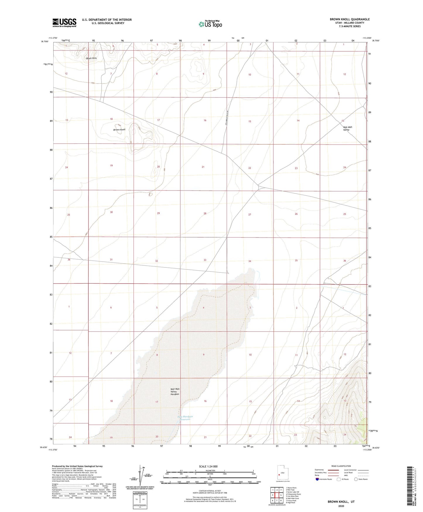
2020 topographic map quadrangle Brown Knoll in the state of Utah. Scale: 1:24000. Based on the newly updated USGS 7.5' US Topo map series, this map is in the following counties: Millard. The map contains contour data, water features, and other items you are used to seeing on USGS maps, but also has updated roads and other features. This is the next generation of topographic maps. Printed on high-quality waterproof paper with UV fade-resistant inks.
Quads adjacent to this one:
West: Fifteenmile Point
Northwest: Warm Point
North: Red Tops
Northeast: Sevier Lake SW
East: Iron Mine Pass
Southeast: High Rock
South: Frisco Peak
Southwest: Wah Wah Cove
Contains the following named places: Bagnall Corral, Brown Knoll, East Hardpan Reservoir, Nielson Pond, Wah Wah Valley, Wah Wah Valley Hardpan, Wah Wah Well