MyTopo
Wah Wah Cove Utah US Topo Map
Couldn't load pickup availability
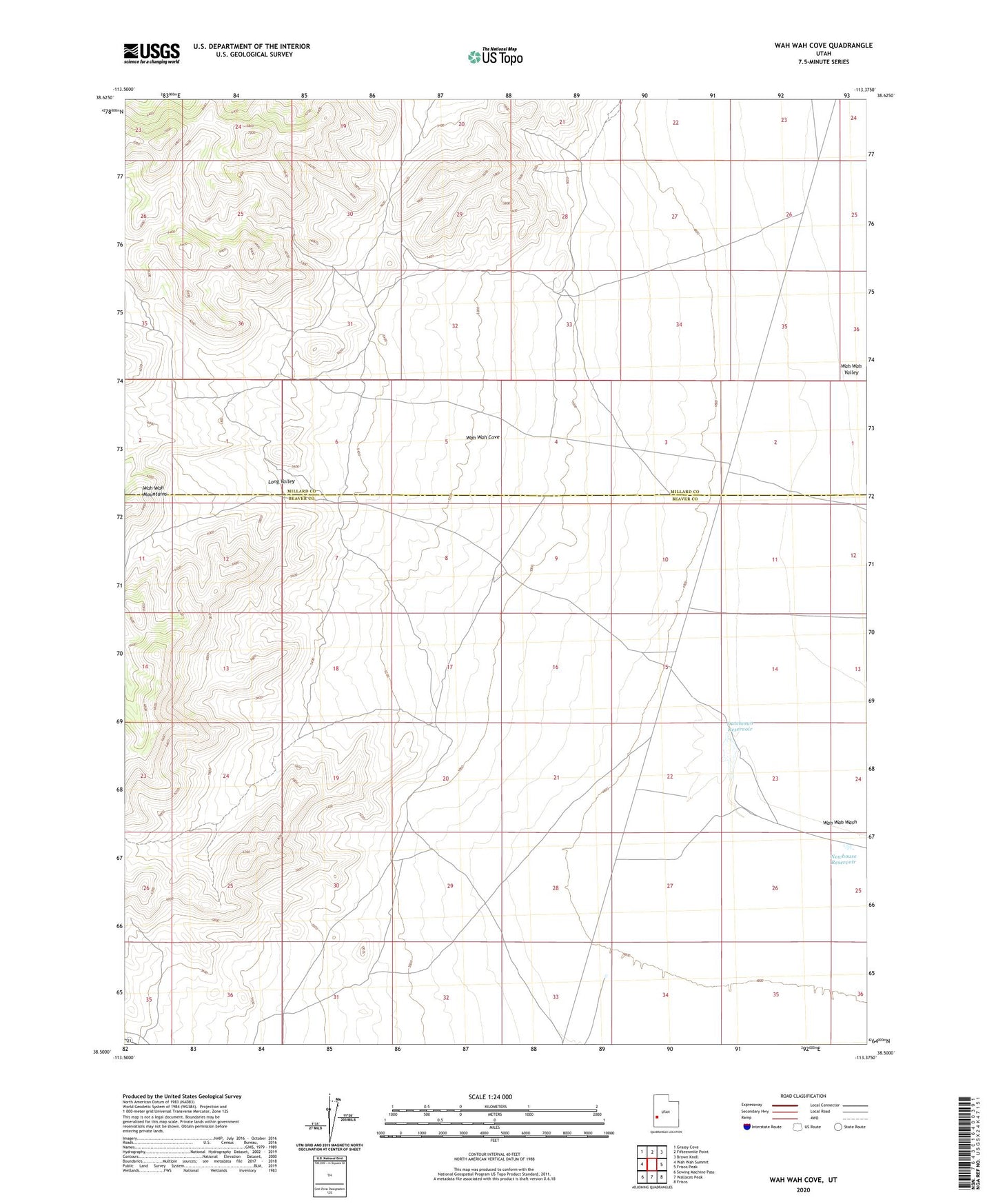
2023 topographic map quadrangle Wah Wah Cove in the state of Utah. Scale: 1:24000. Based on the newly updated USGS 7.5' US Topo map series, this map is in the following counties: Beaver, Millard. The map contains contour data, water features, and other items you are used to seeing on USGS maps, but also has updated roads and other features. This is the next generation of topographic maps. Printed on high-quality waterproof paper with UV fade-resistant inks.
Quads adjacent to this one:
West: Wah Wah Summit
Northwest: Grassy Cove
North: Fifteenmile Point
Northeast: Brown Knoll
East: Frisco Peak
Southeast: Frisco
South: Wallaces Peak
Southwest: Sewing Machine Pass
This map covers the same area as the classic USGS quad with code o38113e4.
Contains the following named places: Dutchman Reservoir, Kelleys Place, Long Valley, Newhouse Reservoir, Wah Wah Cove, Wild Horse Corral