MyTopo
Buck Hollow Utah US Topo Map
Couldn't load pickup availability
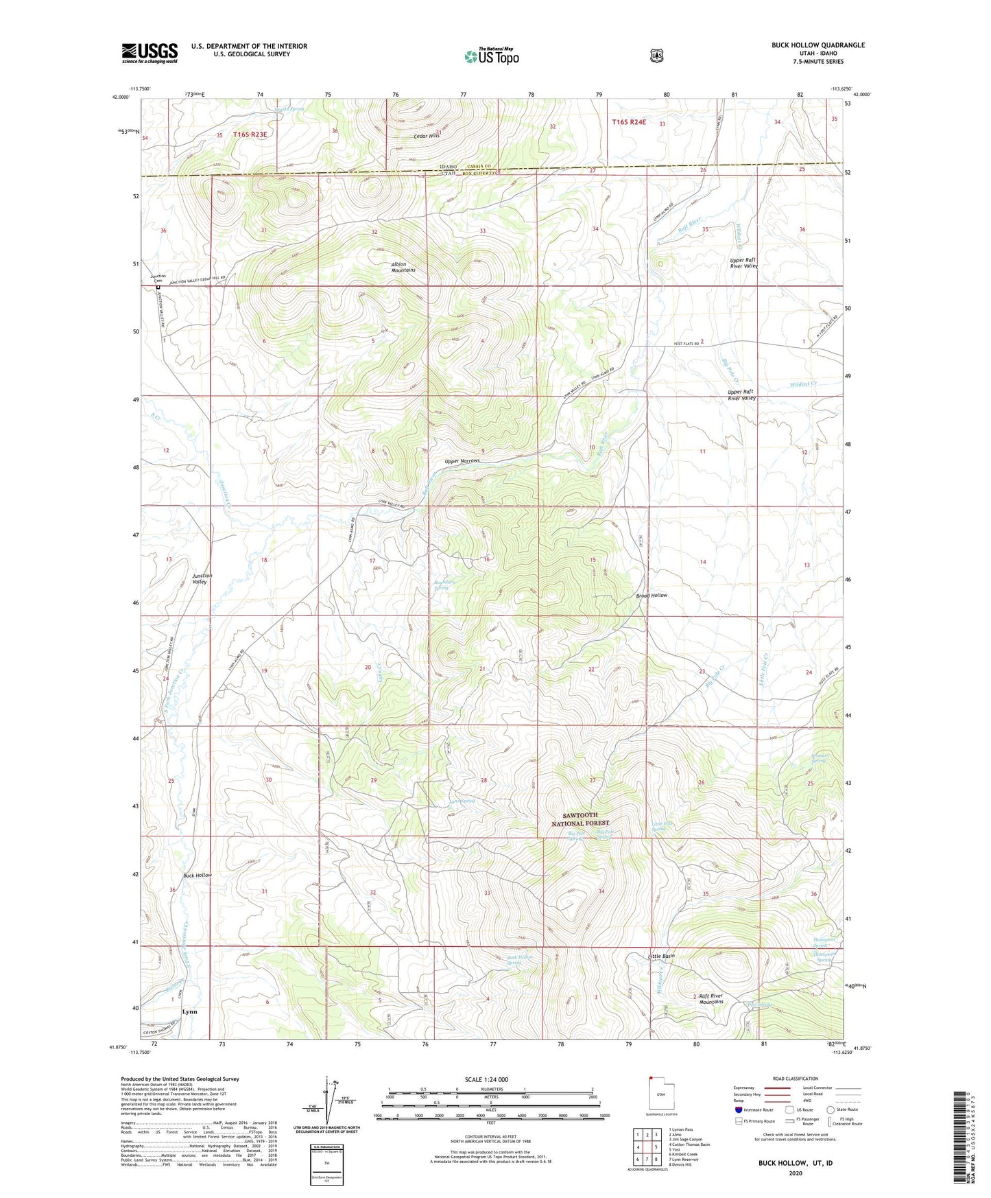
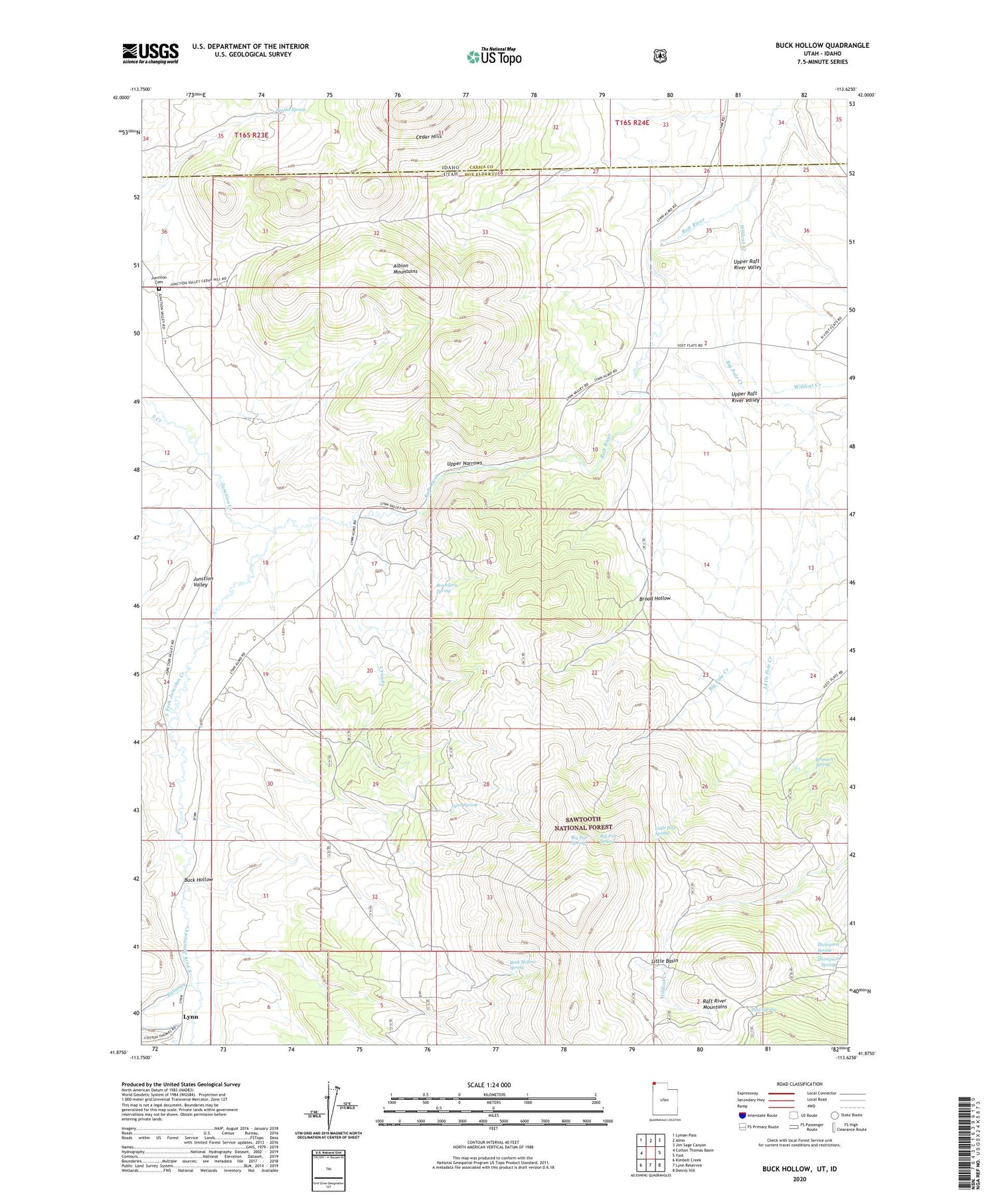
2020 topographic map quadrangle Buck Hollow in the states of Idaho, Utah. Scale: 1:24000. Based on the newly updated USGS 7.5' US Topo map series, this map is in the following counties: Box Elder, Cassia. The map contains contour data, water features, and other items you are used to seeing on USGS maps, but also has updated roads and other features. This is the next generation of topographic maps. Printed on high-quality waterproof paper with UV fade-resistant inks.
Quads adjacent to this one:
West: Cotton Thomas Basin
Northwest: Lyman Pass
North: Almo
Northeast: Jim Sage Canyon
East: Yost
Southeast: Dennis Hill
South: Lynn Reservoir
Southwest: Kimbell Creek
Contains the following named places: Basin Creek, Big Pole Creek, Big Pole Spring, Boundary Spring, Broad Hollow, Bronson Spring, Buck Hollow, Buck Hollow Spring, Junction Cemetery, Junction Creek, Junction School, Little Basin, Little Pole Creek, Little Pole Spring, Lynn Creek, Lynn Spring, Pine Spring, South Creek, South Fork Junction Creek, Sparks Spring, Thompson Spring, Upper Narrows, Wildcat Creek, ZIP Code: 83312