MyTopo
Bull Valley Gorge Utah US Topo Map
Couldn't load pickup availability
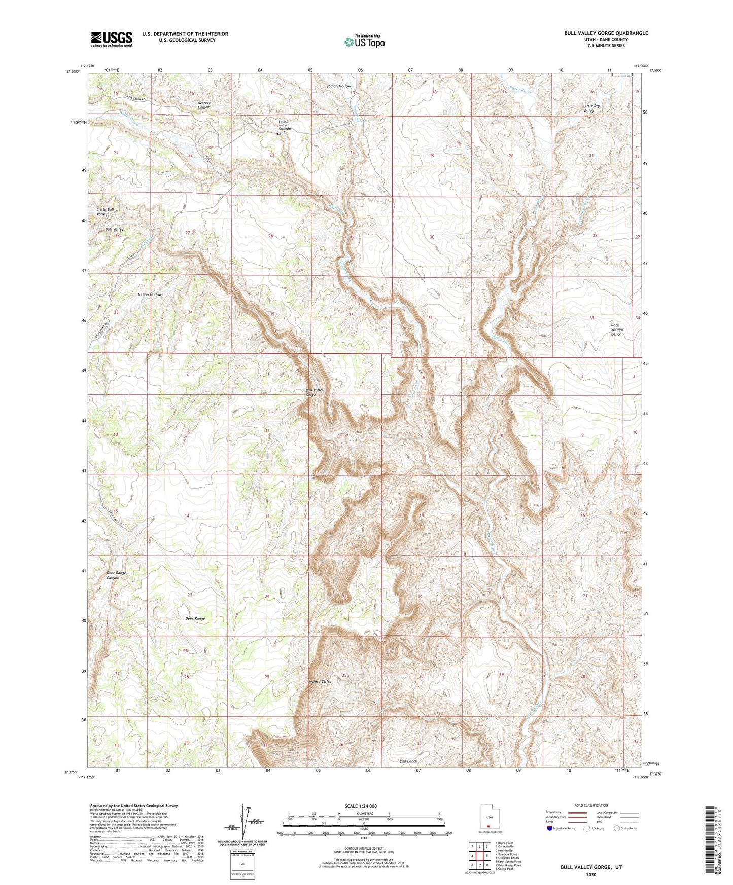
2020 topographic map quadrangle Bull Valley Gorge in the state of Utah. Scale: 1:24000. Based on the newly updated USGS 7.5' US Topo map series, this map is in the following counties: Kane. The map contains contour data, water features, and other items you are used to seeing on USGS maps, but also has updated roads and other features. This is the next generation of topographic maps. Printed on high-quality waterproof paper with UV fade-resistant inks.
Quads adjacent to this one:
West: Rainbow Point
Northwest: Bryce Point
North: Cannonville
Northeast: Henrieville
East: Slickrock Bench
Southeast: Calico Peak
South: Deer Range Point
Southwest: Deer Spring Point
Contains the following named places: Averett Canyon, Bull Run, Bull Valley, Bull Valley Gorge, Deer Range, Elijah Averett Gravesite, Indian Hollow, Little Bull Valley, Little Dry Valley, Rock Springs Creek, Sheep Creek, Willis Creek