
MyTopo
Cathedral Canyon Utah US Topo Map
Couldn't load pickup availability
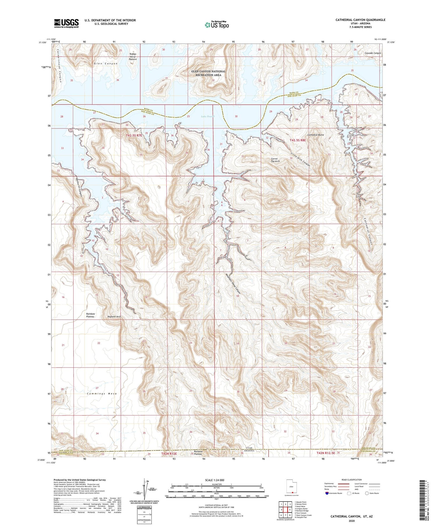
2020 topographic map quadrangle Cathedral Canyon in the state of Utah. Scale: 1:24000. Based on the newly updated USGS 7.5' US Topo map series, this map is in the following counties: San Juan, Kane, Coconino. The map contains contour data, water features, and other items you are used to seeing on USGS maps, but also has updated roads and other features. This is the next generation of topographic maps. Printed on high-quality waterproof paper with UV fade-resistant inks.
Quads adjacent to this one:
West: Gregory Butte
Northwest: Mazuki Point
North: Navajo Point
Northeast: Nasja Mesa
East: Rainbow Bridge
Southeast: Chaiyahi Flat
South: West Canyon Creek
Southwest: Face Canyon
Contains the following named places: Carrot Top Arch, Cathedral Butte, Cathedral Canyon, Cornerstone Canyon, Dangling Rope Marina, Keyhole Arch, Klondike Bar, Little Arch Canyon, Mountain Sheep Canyon, Wetherill Canyon


