MyTopo
Champlin Peak Utah US Topo Map
Couldn't load pickup availability
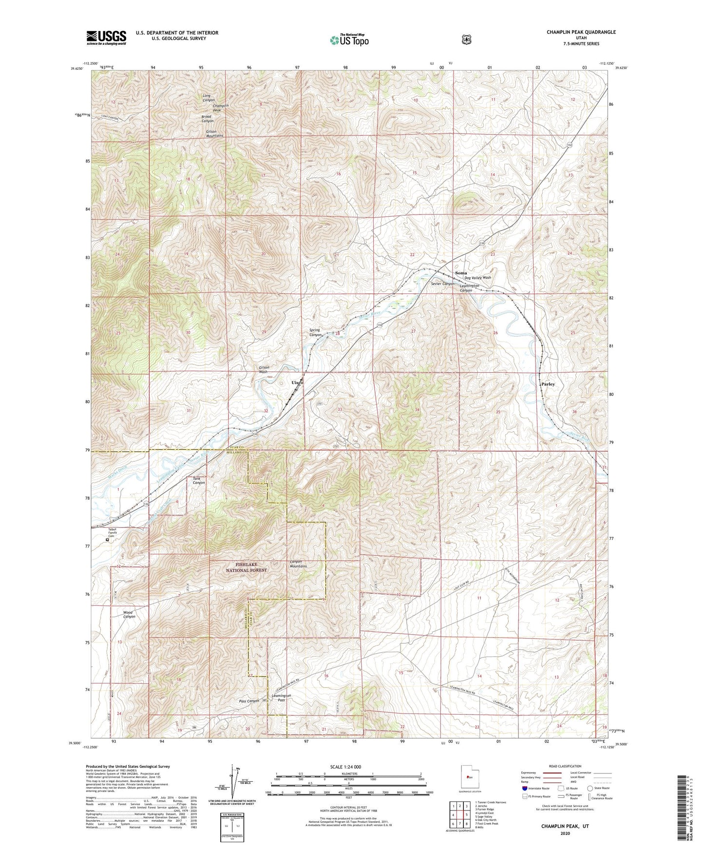
2020 topographic map quadrangle Champlin Peak in the state of Utah. Scale: 1:24000. Based on the newly updated USGS 7.5' US Topo map series, this map is in the following counties: Juab, Millard. The map contains contour data, water features, and other items you are used to seeing on USGS maps, but also has updated roads and other features. This is the next generation of topographic maps. Printed on high-quality waterproof paper with UV fade-resistant inks.
Quads adjacent to this one:
West: Lynndyl East
Northwest: Tanner Creek Narrows
North: Jericho
Northeast: Furner Ridge
East: Sage Valley
Southeast: Mills
South: Fool Creek Peak
Southwest: Oak City North
Contains the following named places: Champlin Peak, Dog Valley Wash, Gilson Mountains, Gilson Wash, Leamington Canal, Leamington Pass, Parley, Sevier Canyon, Soma, Spring Canyon, Talbot Family Cemetery, Tank Canyon, Uisco, Wood Canyon