MyTopo
Furner Ridge Utah US Topo Map
Couldn't load pickup availability
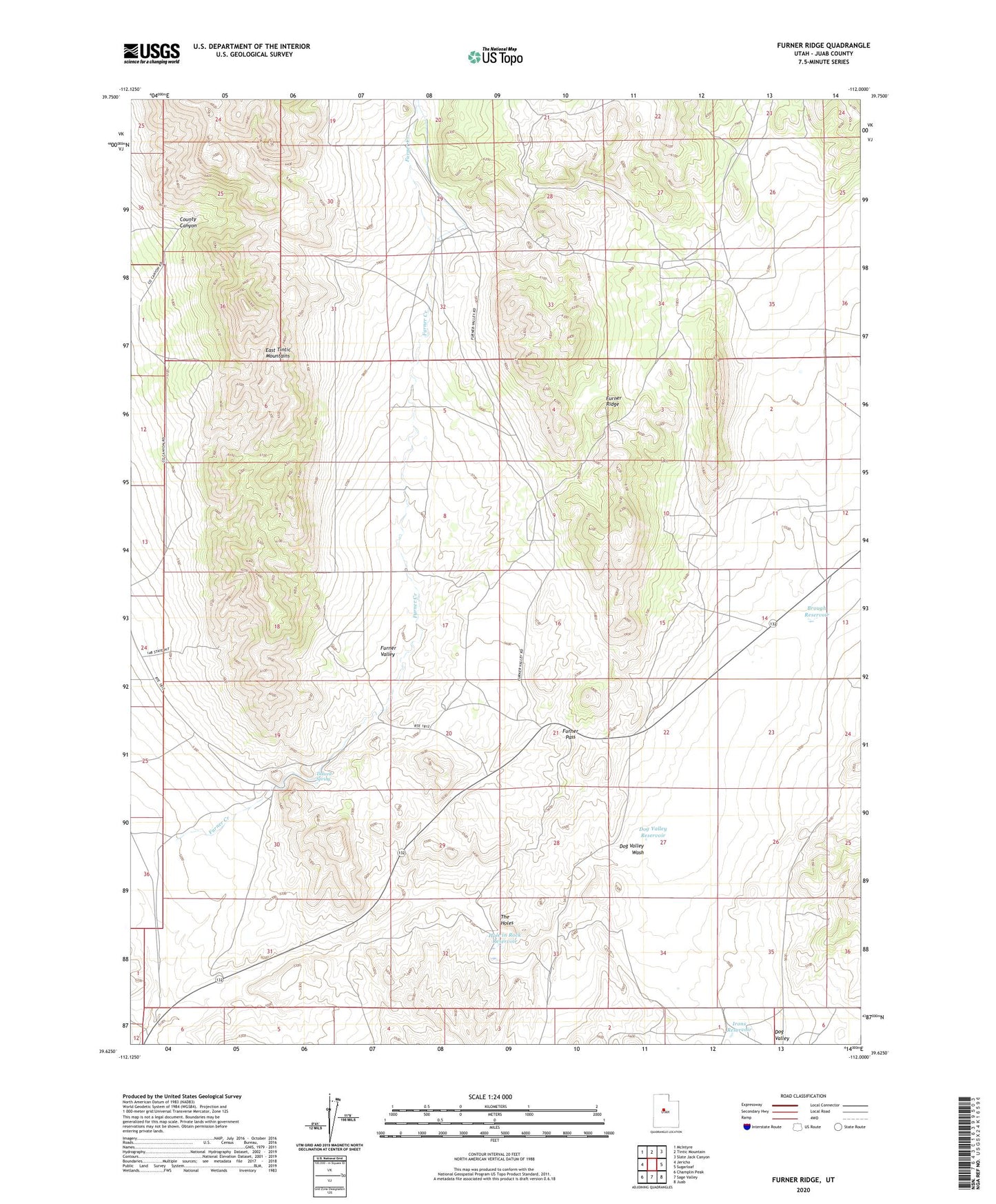
2023 topographic map quadrangle Furner Ridge in the state of Utah. Scale: 1:24000. Based on the newly updated USGS 7.5' US Topo map series, this map is in the following counties: Juab. The map contains contour data, water features, and other items you are used to seeing on USGS maps, but also has updated roads and other features. This is the next generation of topographic maps. Printed on high-quality waterproof paper with UV fade-resistant inks.
Quads adjacent to this one:
West: Jericho
Northwest: McIntyre
North: Tintic Mountain
Northeast: Slate Jack Canyon
East: Sugarloaf
Southeast: Juab
South: Sage Valley
Southwest: Champlin Peak
This map covers the same area as the classic USGS quad with code o39112f1.
Contains the following named places: Brough Reservoir, County Canyon, Dog Valley Reservoir, Furner Creek, Furner Pass, Furner Ridge, Furner Valley, Hole in Rock Reservoir, Irons Reservoir, The Holes, Tidwell Spring