MyTopo
Crater Island SW Utah US Topo Map
Couldn't load pickup availability
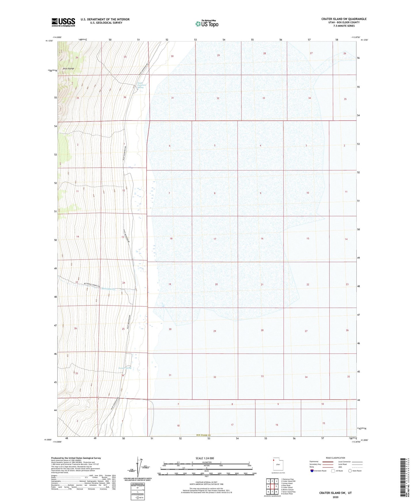
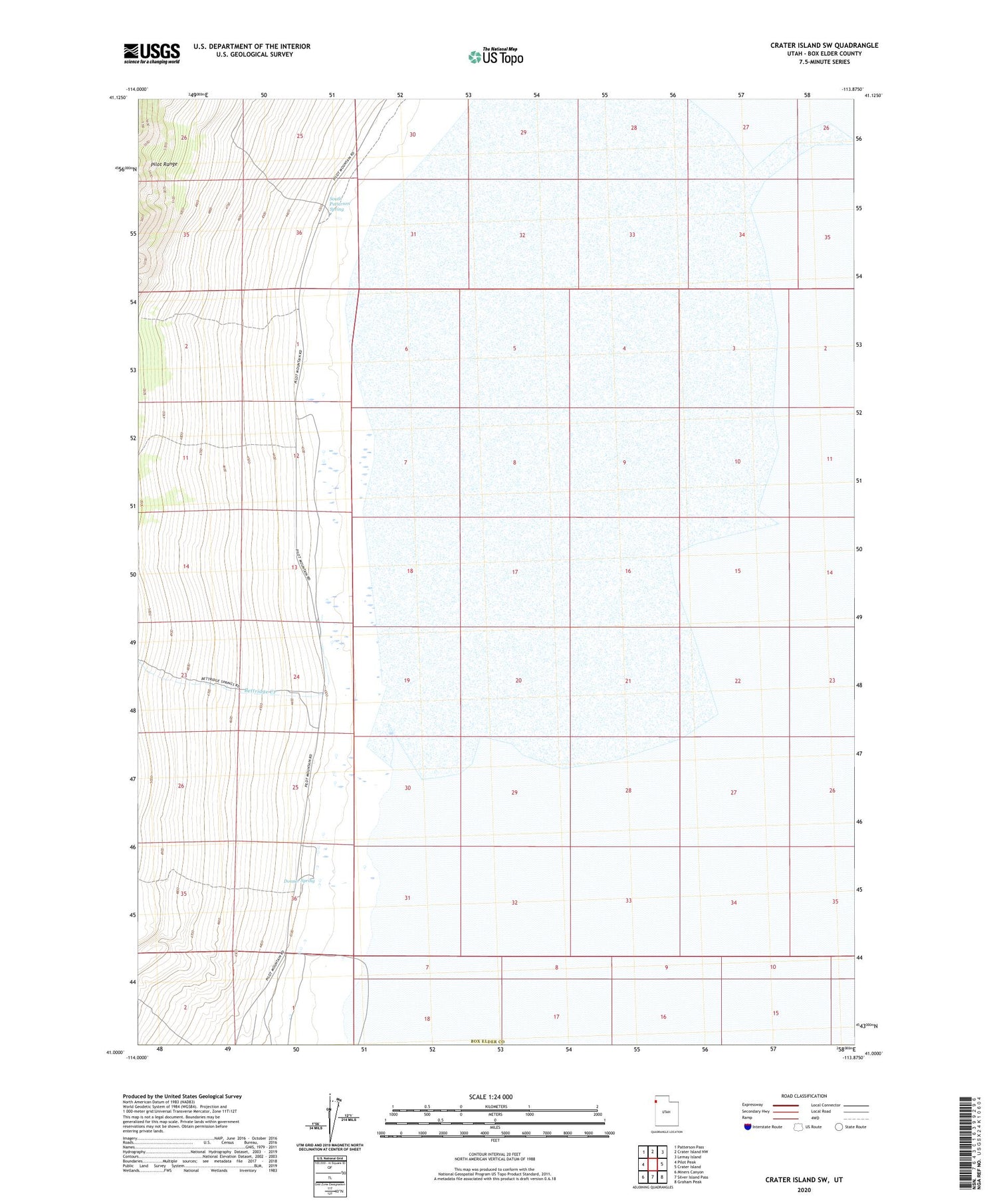
2020 topographic map quadrangle Crater Island SW in the state of Utah. Scale: 1:24000. Based on the newly updated USGS 7.5' US Topo map series, this map is in the following counties: Box Elder. The map contains contour data, water features, and other items you are used to seeing on USGS maps, but also has updated roads and other features. This is the next generation of topographic maps. Printed on high-quality waterproof paper with UV fade-resistant inks.
Quads adjacent to this one:
West: Pilot Peak
Northwest: Patterson Pass
North: Crater Island NW
Northeast: Lemay Island
East: Crater Island
Southeast: Graham Peak
South: Silver Island Pass
Southwest: Miners Canyon
Contains the following named places: Bettridge Creek, Donner Spring, South Patterson Spring