MyTopo
Dairy Ridge Utah US Topo Map
Couldn't load pickup availability
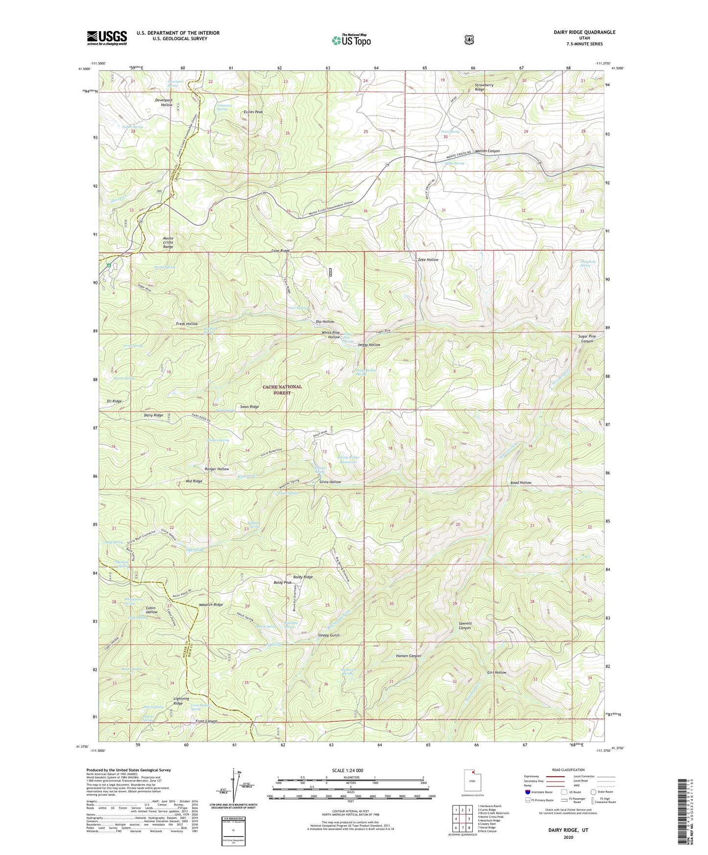
2020 topographic map quadrangle Dairy Ridge in the state of Utah. Scale: 1:24000. Based on the newly updated USGS 7.5' US Topo map series, this map is in the following counties: Rich, Weber, Cache. The map contains contour data, water features, and other items you are used to seeing on USGS maps, but also has updated roads and other features. This is the next generation of topographic maps. Printed on high-quality waterproof paper with UV fade-resistant inks.
Quads adjacent to this one:
West: Monte Cristo Peak
Northwest: Hardware Ranch
North: Curtis Ridge
Northeast: Birch Creek Reservoirs
East: Meachum Ridge
Southeast: Peck Canyon
South: Horse Ridge
Southwest: Causey Dam
Contains the following named places: Baldy Peak, Baldy Ridge, Banks Spring, Big Spring, Big Spring Fork, Bluff Spring, Bountiful Spring, Byram Spring, Cave Ridge, Cave Spring, Choke Spring, Dairy Ridge, Dairy Ridge Reservoir, Davenport Spring, Deseret Spring, Desert Spring, Dip Hollow, Eccles Peak, Eli Ridge, Freds Hollow, Freds Spring, Front Hollow Spring, Girl Hollow, Hansen Canyon, Hatch Spring, Indian Spring, Lightning Ridge, Limestone Spring, Millie Spring, Monte Cristo Campground, Monte Cristo Guard Station, Neponset Spring, Open Spring, Peggy Hollow, Peggy Hollow Spring, Petes Spring, Phosphate Spring, Pipe Spring, Ranger Hollow, Ranger Spring, Red Rock Spring, Road Hollow, Sawmill Canyon, Silvia Hollow, Sleepy Gulch, Southwick Spring, Sprout Spring, Strawberry Ridge, Sugar Pine Canyon, Sugar Pine Spring, Swan Ridge, Swan Spring, Wheatgrass Spring, Wheeler Creek, Wheeler Spring, White Pine Hollow, William Spring, Zeke Hollow, Zeke Hollow Corral