MyTopo
Dugway Range NE Utah US Topo Map
Couldn't load pickup availability
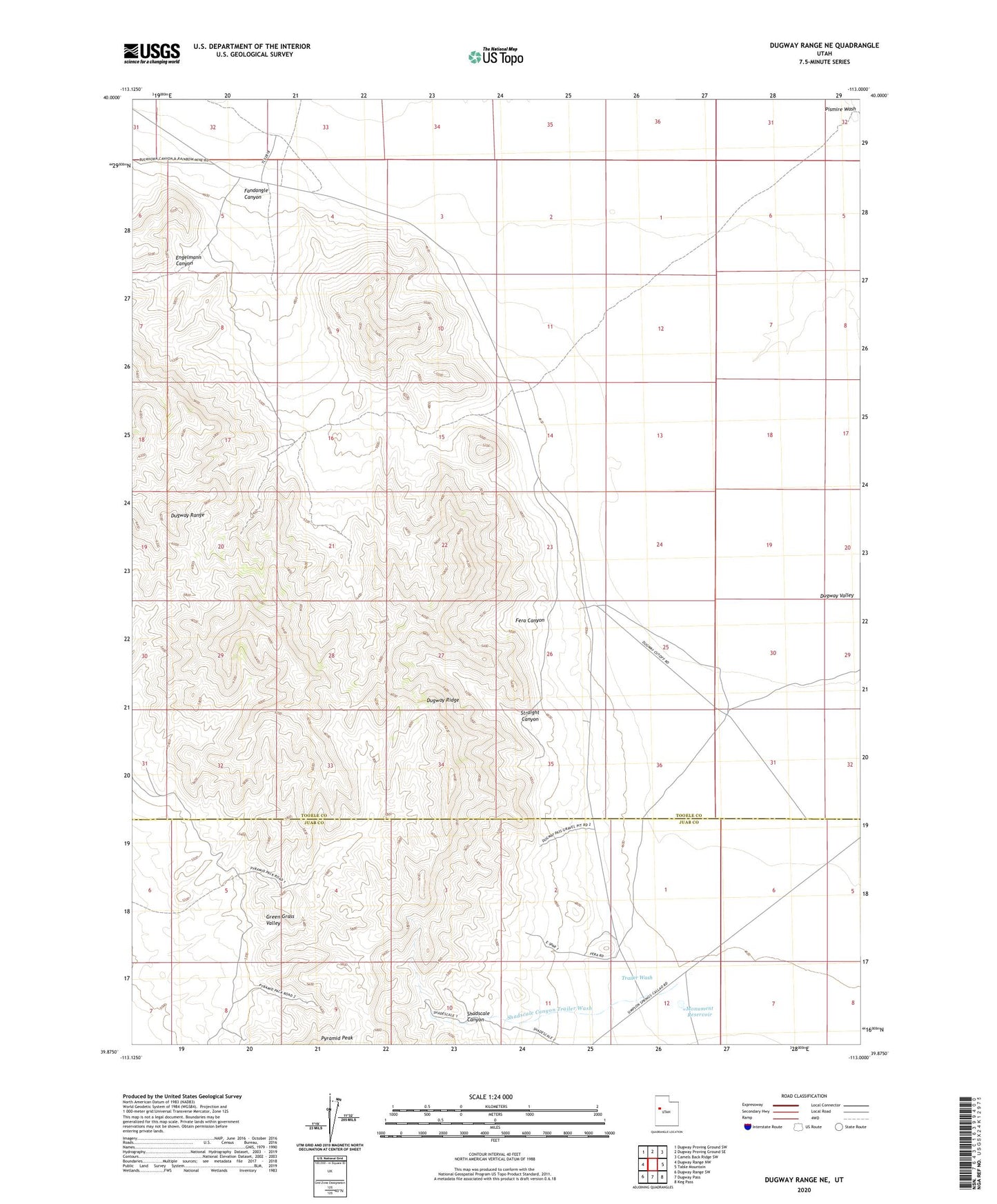
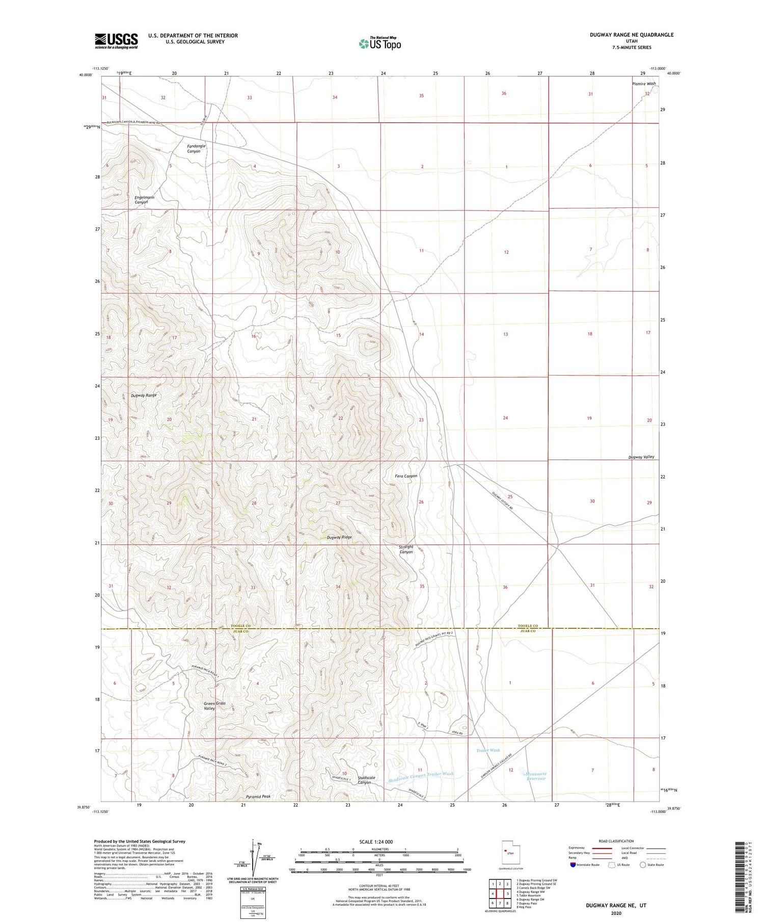
2020 topographic map quadrangle Dugway Range NE in the state of Utah. Scale: 1:24000. Based on the newly updated USGS 7.5' US Topo map series, this map is in the following counties: Tooele, Juab. The map contains contour data, water features, and other items you are used to seeing on USGS maps, but also has updated roads and other features. This is the next generation of topographic maps. Printed on high-quality waterproof paper with UV fade-resistant inks.
Quads adjacent to this one:
West: Dugway Range NW
Northwest: Dugway Proving Ground SW
North: Dugway Proving Ground SE
Northeast: Camels Back Ridge SW
East: Table Mountain
Southeast: Keg Pass
South: Dugway Pass
Southwest: Dugway Range SW
Contains the following named places: Dugway Range, Dugway Ridge, Dugway Topaz Well, Engelmann Canyon, Fandangle Canyon, Fandangle Well, Fera Canyon, Fera Number 38 Well, Green Grass Valley, Monument Reservoir, Shadscale Canyon, Shadscale Canyon Trailer Wash, Straight Canyon, Trailer Wash