MyTopo
Keg Pass Utah US Topo Map
Couldn't load pickup availability
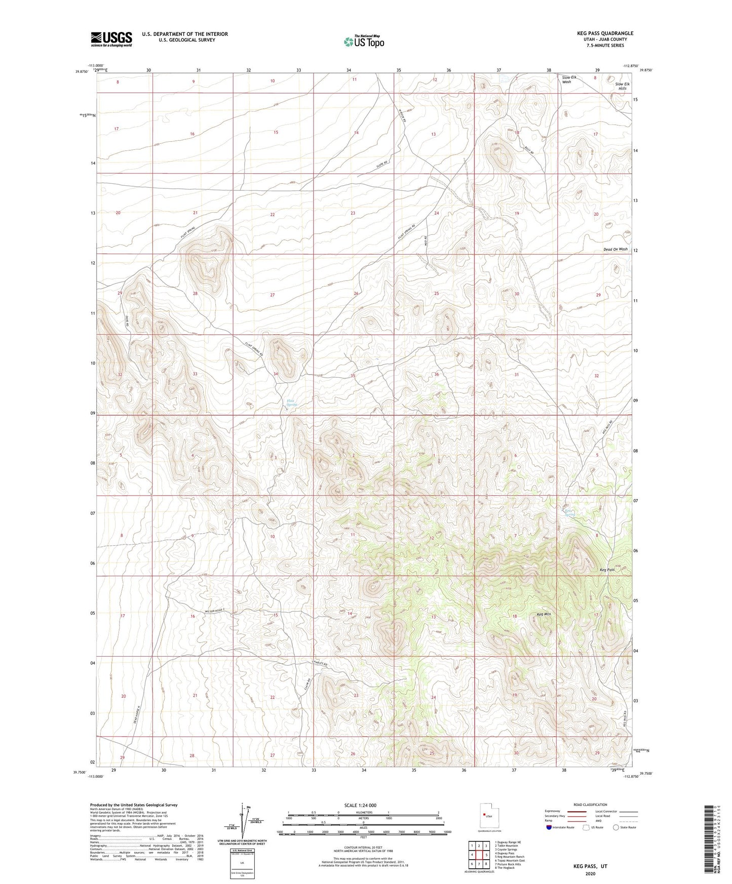
2023 topographic map quadrangle Keg Pass in the state of Utah. Scale: 1:24000. Based on the newly updated USGS 7.5' US Topo map series, this map is in the following counties: Juab. The map contains contour data, water features, and other items you are used to seeing on USGS maps, but also has updated roads and other features. This is the next generation of topographic maps. Printed on high-quality waterproof paper with UV fade-resistant inks.
Quads adjacent to this one:
West: Dugway Pass
Northwest: Dugway Range NE
North: Table Mountain
Northeast: Coyote Springs
East: Keg Mountain Ranch
Southeast: The Hogback
South: Picture Rock Hills
Southwest: Topaz Mountain East
This map covers the same area as the classic USGS quad with code o39112g8.
Contains the following named places: Flint Spring, Keg Pass, Keg Spring, Slow Elk Wash