MyTopo
Headlight Mountain Utah US Topo Map
Couldn't load pickup availability
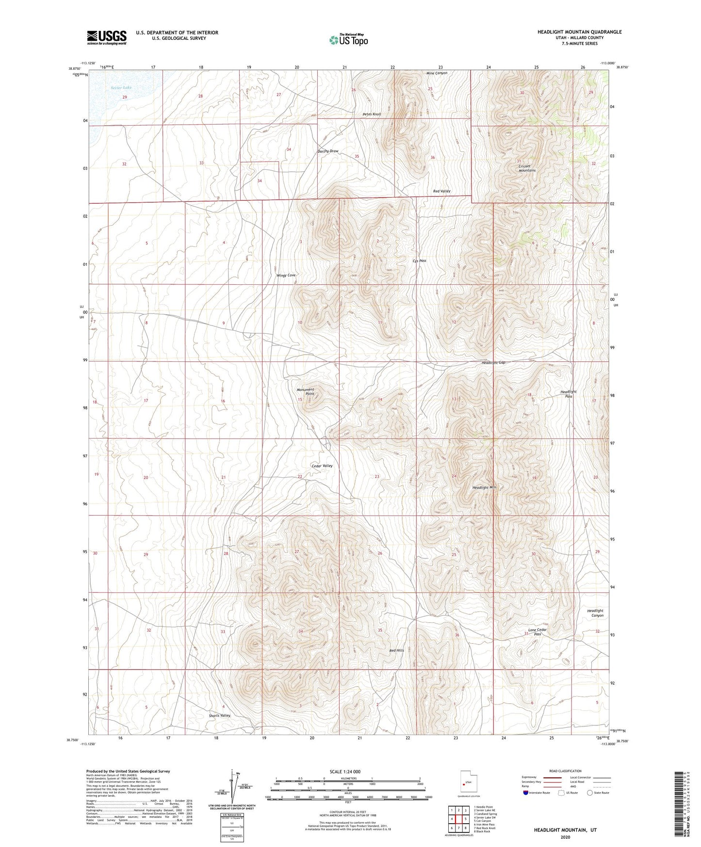
2023 topographic map quadrangle Headlight Mountain in the state of Utah. Scale: 1:24000. Based on the newly updated USGS 7.5' US Topo map series, this map is in the following counties: Millard. The map contains contour data, water features, and other items you are used to seeing on USGS maps, but also has updated roads and other features. This is the next generation of topographic maps. Printed on high-quality waterproof paper with UV fade-resistant inks.
Quads adjacent to this one:
West: Sevier Lake SW
Northwest: Needle Point
North: Sevier Lake NE
Northeast: Candland Spring
East: Cat Canyon
Southeast: Black Rock
South: Red Rock Knoll
Southwest: Iron Mine Pass
This map covers the same area as the classic USGS quad with code o38113g1.
Contains the following named places: Cedar Valley, Cys Pass, Dorthy Draw, Headlight Canyon, Headlight Gap, Headlight Mountain, Headlight Pass, Lone Cedar Pass, Mine Canyon, Monument Point, Petes Knoll, Red Hills, Red Valley, Shorts Valley, Wingy Cove