MyTopo
Hole in the Ground Utah US Topo Map
Couldn't load pickup availability
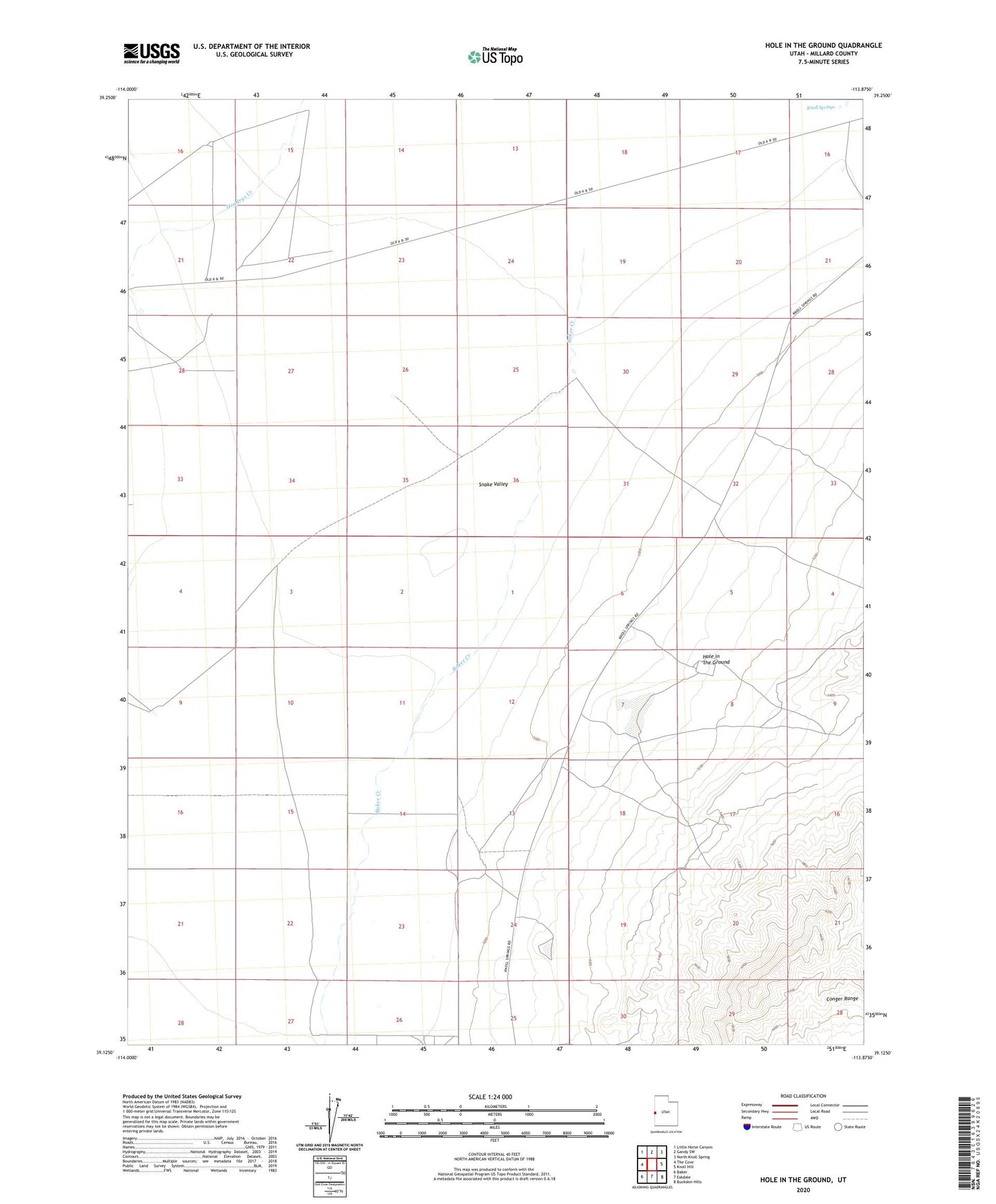
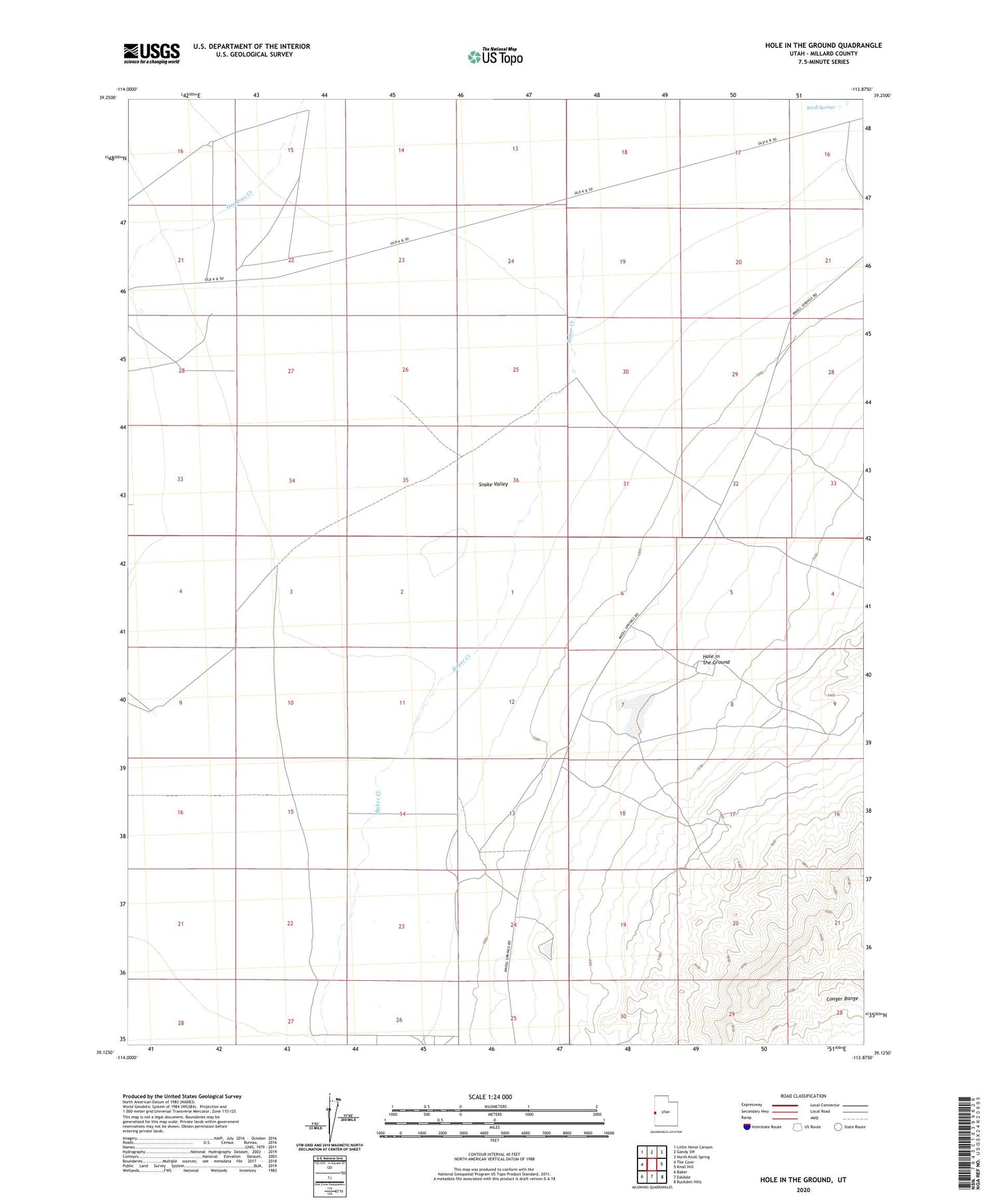
2020 topographic map quadrangle Hole in the Ground in the state of Utah. Scale: 1:24000. Based on the newly updated USGS 7.5' US Topo map series, this map is in the following counties: Millard. The map contains contour data, water features, and other items you are used to seeing on USGS maps, but also has updated roads and other features. This is the next generation of topographic maps. Printed on high-quality waterproof paper with UV fade-resistant inks.
Quads adjacent to this one:
West: The Cove
Northwest: Little Horse Canyon
North: Gandy SW
Northeast: North Knoll Spring
East: Knoll Hill
Southeast: Buckskin Hills
South: Eskdale
Southwest: Baker
Contains the following named places: Baker Creek, Hole in the Ground, Knoll Springs