MyTopo
Eskdale Utah US Topo Map
Couldn't load pickup availability
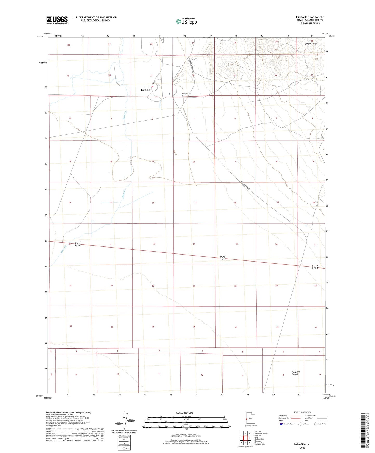
2023 topographic map quadrangle Eskdale in the state of Utah. Scale: 1:24000. Based on the newly updated USGS 7.5' US Topo map series, this map is in the following counties: Millard. The map contains contour data, water features, and other items you are used to seeing on USGS maps, but also has updated roads and other features. This is the next generation of topographic maps. Printed on high-quality waterproof paper with UV fade-resistant inks.
Quads adjacent to this one:
West: Baker
Northwest: The Cove
North: Hole in the Ground
Northeast: Knoll Hill
East: Buckskin Hills
Southeast: Deadman Point
South: Burbank Pass
Southwest: Garrison
This map covers the same area as the classic USGS quad with code o39113a8.
Contains the following named places: Buckskin Well, Eskdale, Eskdale Cemetery, Eskdale Fire Department