MyTopo
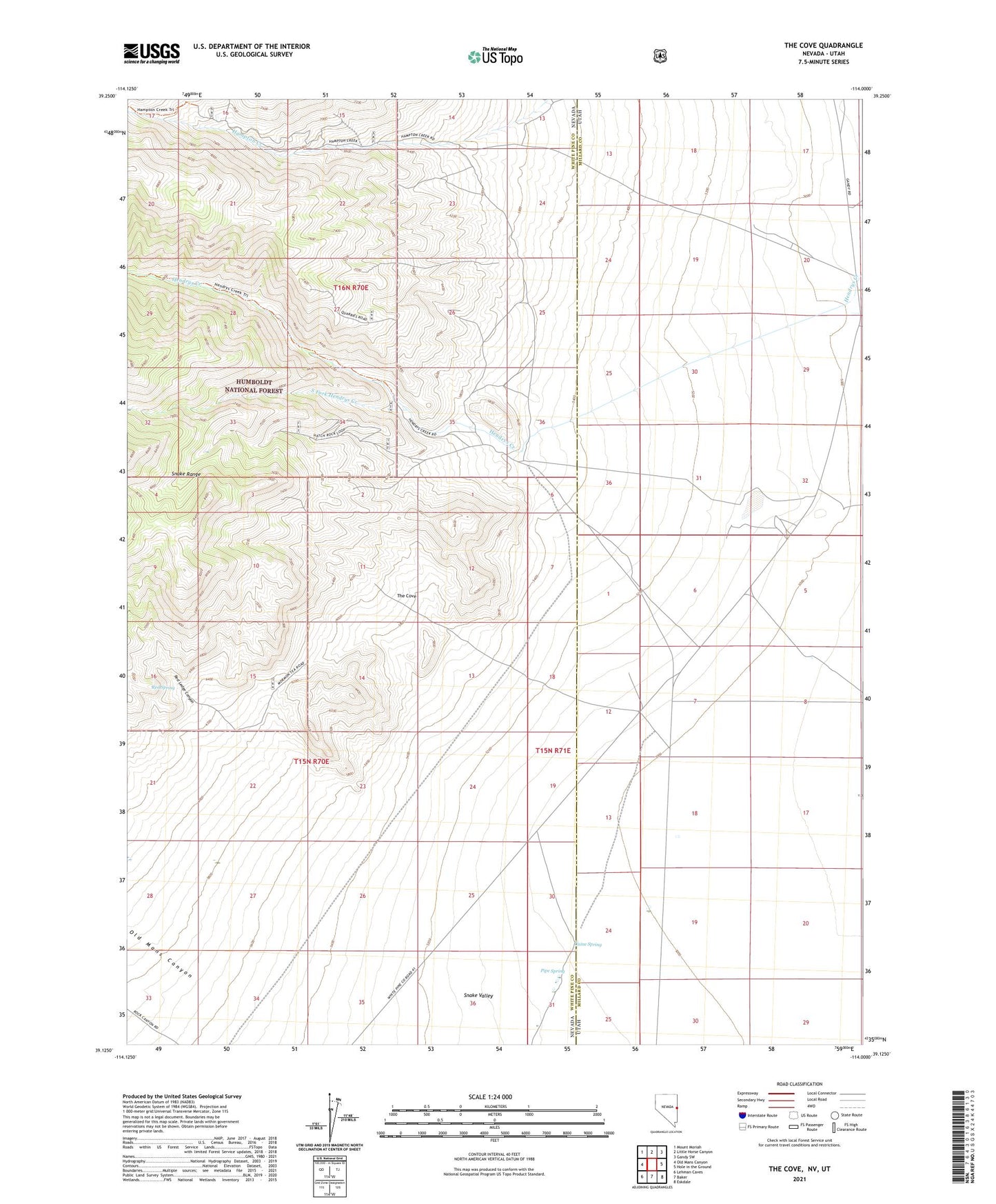
The Cove Nevada US Topo Map
Couldn't load pickup availability
Also explore the The Cove Forest Service Topo of this same quad for updated USFS data
2021 topographic map quadrangle The Cove in the states of Nevada, Utah. Scale: 1:24000. Based on the newly updated USGS 7.5' US Topo map series, this map is in the following counties: White Pine, Millard. The map contains contour data, water features, and other items you are used to seeing on USGS maps, but also has updated roads and other features. This is the next generation of topographic maps. Printed on high-quality waterproof paper with UV fade-resistant inks.
Quads adjacent to this one:
West: Old Mans Canyon
Northwest: Mount Moriah
North: Little Horse Canyon
Northeast: Gandy SW
East: Hole in the Ground
Southeast: Eskdale
South: Baker
Southwest: Lehman Caves
Contains the following named places: Caine Spring, Hendries Mill, Hendrys Creek, Old Mans Canyon, Pipe Spring, Red Ledge Canyon, Red Spring, Robison Ranch, South Fork Hendrys Creek, Star Dust Mine, The Cove