MyTopo
Horse Bench West Utah US Topo Map
Couldn't load pickup availability
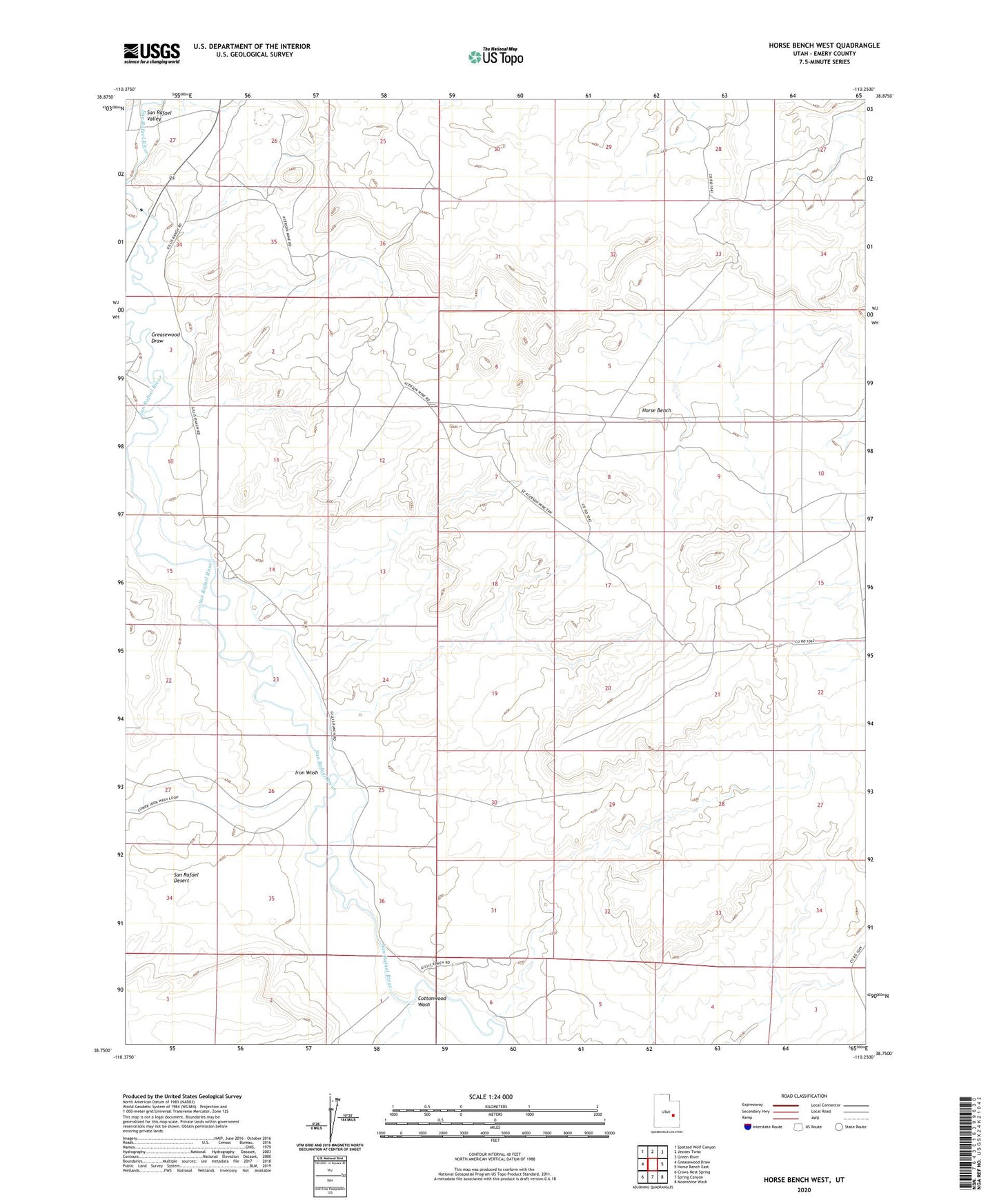
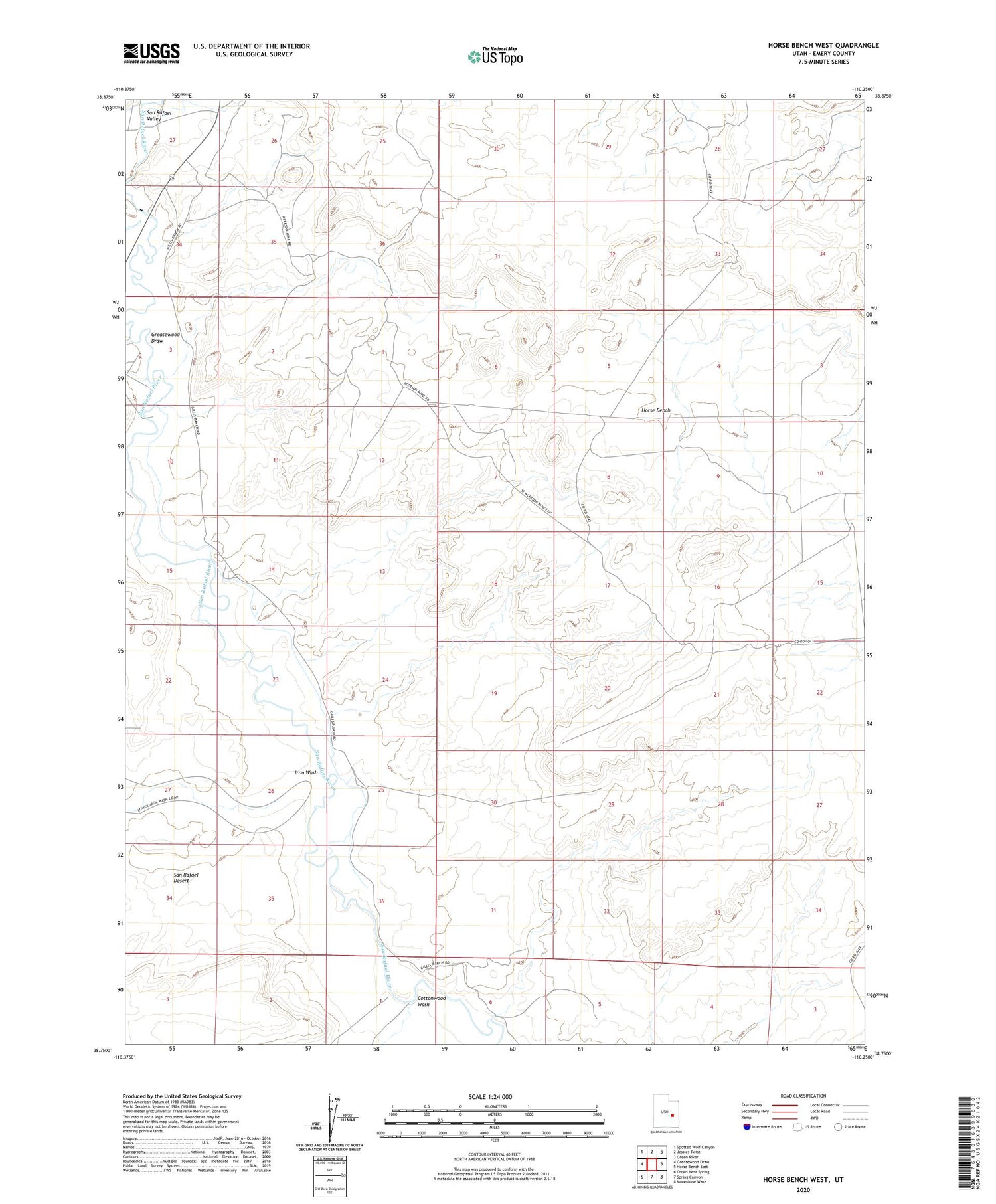
2020 topographic map quadrangle Horse Bench West in the state of Utah. Scale: 1:24000. Based on the newly updated USGS 7.5' US Topo map series, this map is in the following counties: Emery. The map contains contour data, water features, and other items you are used to seeing on USGS maps, but also has updated roads and other features. This is the next generation of topographic maps. Printed on high-quality waterproof paper with UV fade-resistant inks.
Quads adjacent to this one:
West: Greasewood Draw
Northwest: Spotted Wolf Canyon
North: Jessies Twist
Northeast: Green River
East: Horse Bench East
Southeast: Moonshine Wash
South: Spring Canyon
Southwest: Crows Nest Spring
Contains the following named places: Cottonwood Wash, Gillies Ranch, Greasewood Draw, Iron Wash, Oman Ranch Airport, The Frenchmans