MyTopo
Ibapah Peak Utah US Topo Map
Couldn't load pickup availability
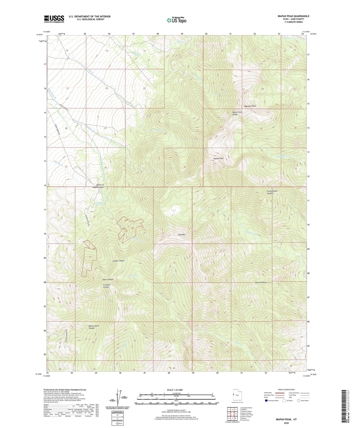
2020 topographic map quadrangle Ibapah Peak in the state of Utah. Scale: 1:24000. Based on the newly updated USGS 7.5' US Topo map series, this map is in the following counties: Juab. The map contains contour data, water features, and other items you are used to seeing on USGS maps, but also has updated roads and other features. This is the next generation of topographic maps. Printed on high-quality waterproof paper with UV fade-resistant inks.
Quads adjacent to this one:
West: Weaver Canyon
Northwest: Georgetta Ranch
North: Goshute
Northeast: Goshute Canyon
East: Indian Farm Creek
Southeast: Trout Creek
South: Partoun
Southwest: Skinner Canyon
Contains the following named places: Birch Creek, Chicken Springs, Dads Creek, Deep Creek Range, Haystack Peak, Ibapah Peak, Queen of Sheba Canyon, Queen of Sheba Mine, Red Mountain