MyTopo
Goshute Canyon Utah US Topo Map
Couldn't load pickup availability
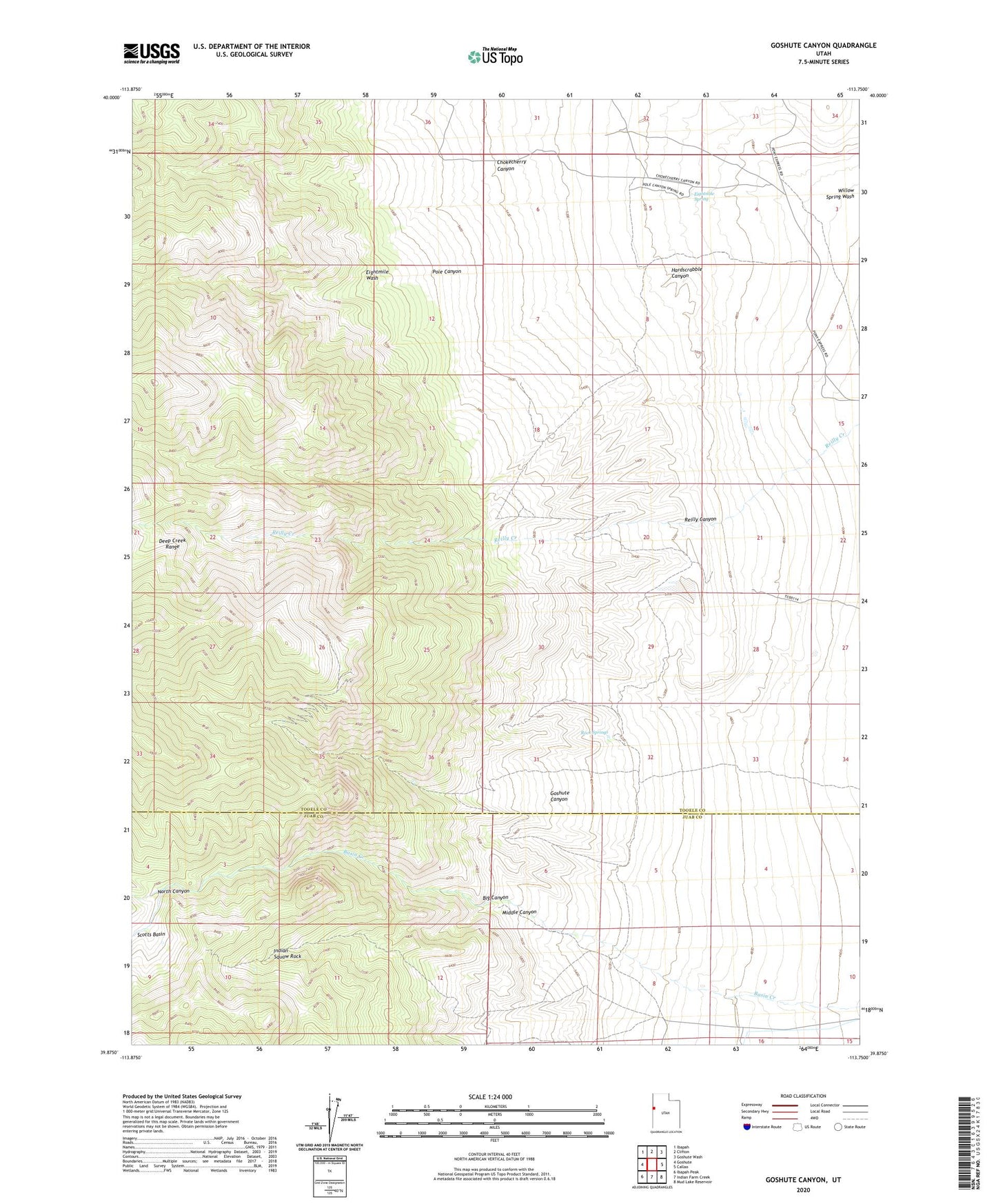
2023 topographic map quadrangle Goshute Canyon in the state of Utah. Scale: 1:24000. Based on the newly updated USGS 7.5' US Topo map series, this map is in the following counties: Tooele, Juab. The map contains contour data, water features, and other items you are used to seeing on USGS maps, but also has updated roads and other features. This is the next generation of topographic maps. Printed on high-quality waterproof paper with UV fade-resistant inks.
Quads adjacent to this one:
West: Goshute
Northwest: Ibapah
North: Clifton
Northeast: Goshute Wash
East: Callao
Southeast: Mud Lake Reservoir
South: Indian Farm Creek
Southwest: Ibapah Peak
This map covers the same area as the classic USGS quad with code o39113h7.
Contains the following named places: Big Canyon, Chokecherry Canyon, Eagles Nest Mine, Eightmile Spring, Goshute Canyon, Hardscrabble Canyon, Indian Squaw Rock, Middle Canyon, North Canyon, Oro del Rey Mine, Pole Canyon, Reilly Canyon, Rock Springs, Sixmile Ranch