MyTopo
Indian Cove Utah US Topo Map
Couldn't load pickup availability
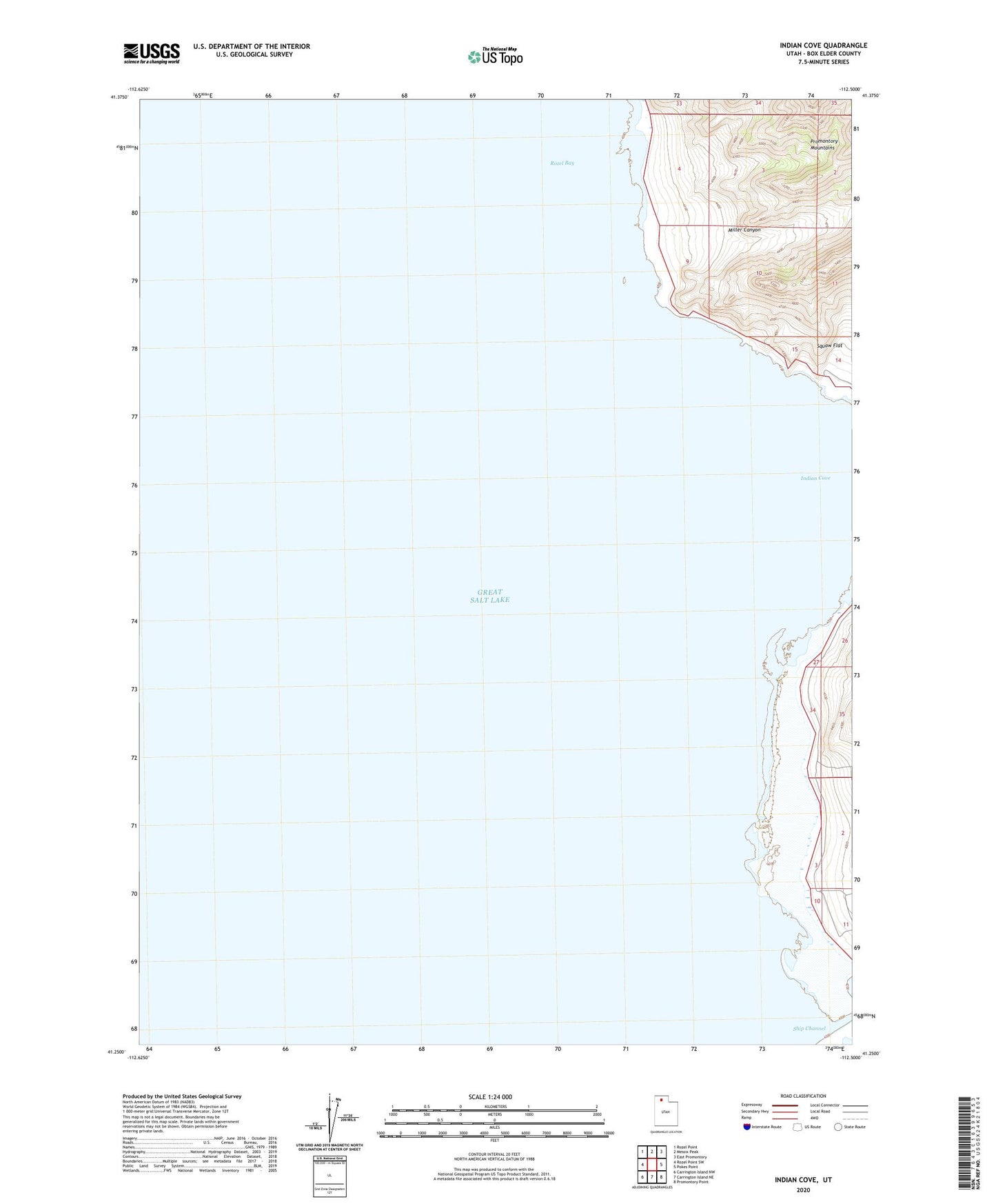
2020 topographic map quadrangle Indian Cove in the state of Utah. Scale: 1:24000. Based on the newly updated USGS 7.5' US Topo map series, this map is in the following counties: Box Elder. The map contains contour data, water features, and other items you are used to seeing on USGS maps, but also has updated roads and other features. This is the next generation of topographic maps. Printed on high-quality waterproof paper with UV fade-resistant inks.
Quads adjacent to this one:
West: Rozel Point SW
Northwest: Rozel Point
North: Messix Peak
Northeast: East Promontory
East: Pokes Point
Southeast: Promontory Point
South: Carrington Island NE
Southwest: Carrington Island NW
Contains the following named places: Indian Cove, Little Valley Harbor, Miller Canyon