MyTopo
Lime Mountain Utah US Topo Map
Couldn't load pickup availability
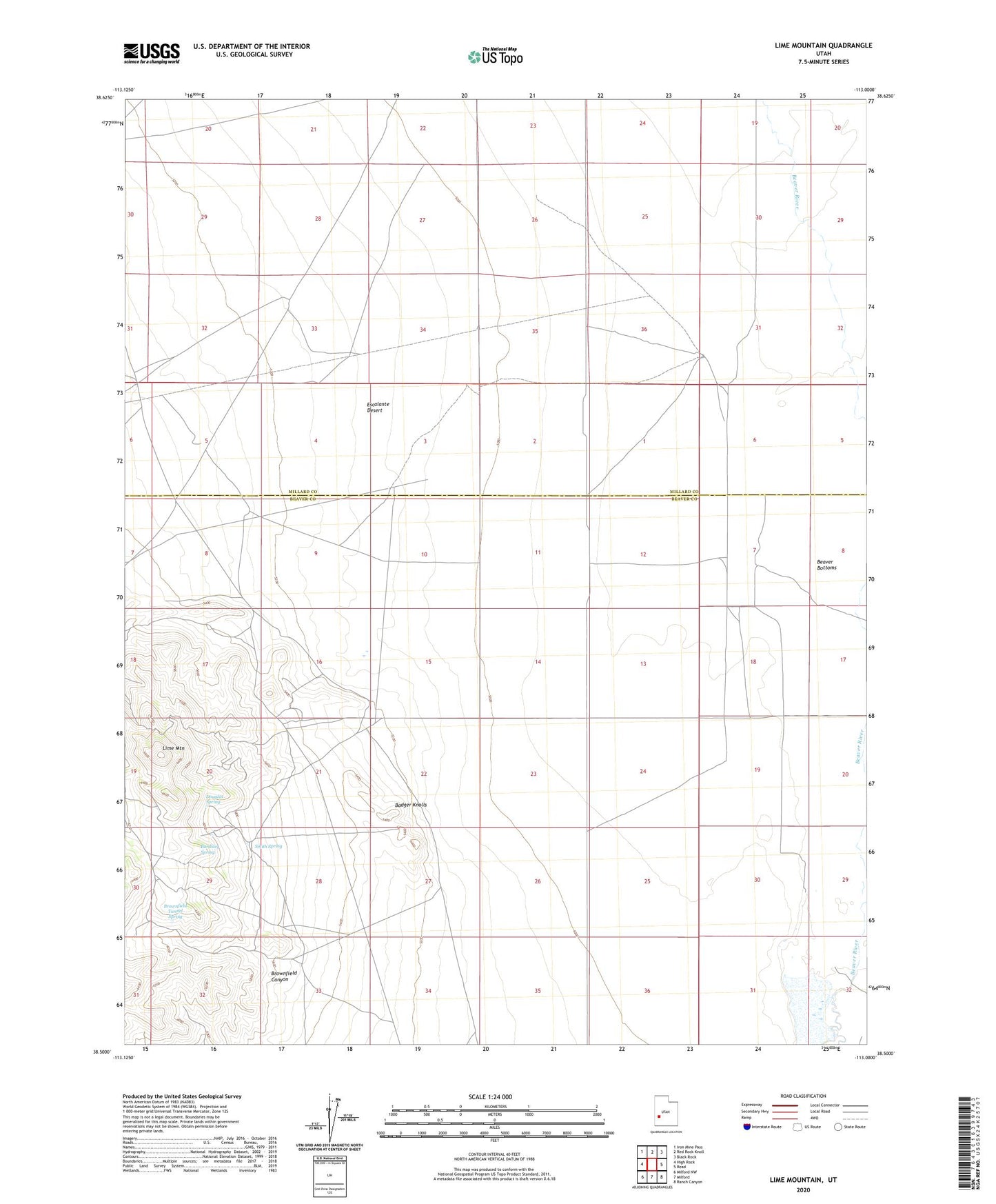
2020 topographic map quadrangle Lime Mountain in the state of Utah. Scale: 1:24000. Based on the newly updated USGS 7.5' US Topo map series, this map is in the following counties: Beaver, Millard. The map contains contour data, water features, and other items you are used to seeing on USGS maps, but also has updated roads and other features. This is the next generation of topographic maps. Printed on high-quality waterproof paper with UV fade-resistant inks.
Quads adjacent to this one:
West: High Rock
Northwest: Iron Mine Pass
North: Red Rock Knoll
Northeast: Black Rock
East: Read
Southeast: Ranch Canyon
South: Milford
Southwest: Milford NW
Contains the following named places: Badger Knolls, Bardsley Spring, Beaver Bottoms, Brownfield Canyon, Brownfield Tunnel Spring, Copper Mountain Mine, Douglas Spring, Galena Mine, Independence Mine, Lime Mountain, North Star Mine, Skylark Mine, Smith Spring, Ute Mine