MyTopo
Milford NW Utah US Topo Map
Couldn't load pickup availability
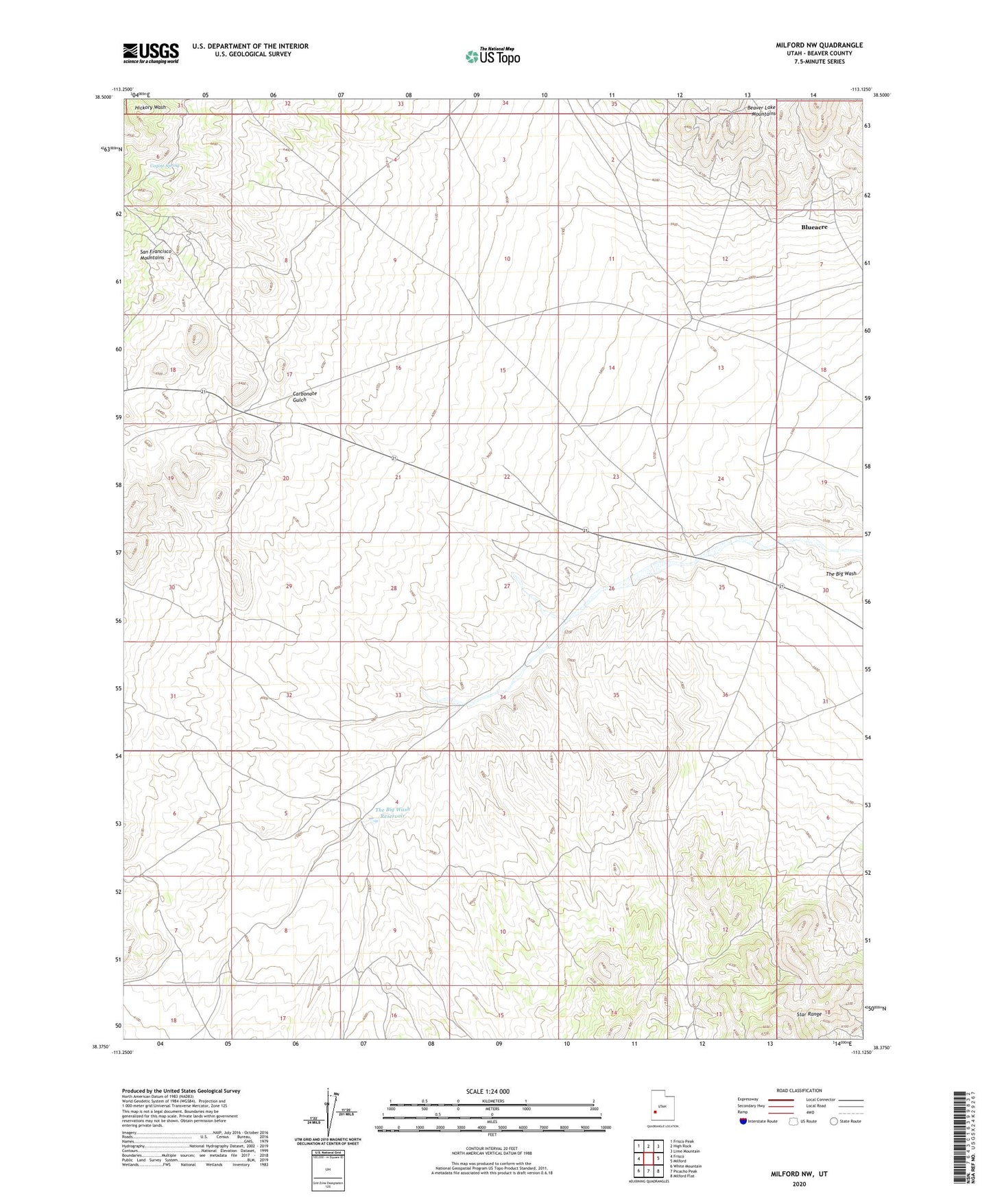
2023 topographic map quadrangle Milford NW in the state of Utah. Scale: 1:24000. Based on the newly updated USGS 7.5' US Topo map series, this map is in the following counties: Beaver. The map contains contour data, water features, and other items you are used to seeing on USGS maps, but also has updated roads and other features. This is the next generation of topographic maps. Printed on high-quality waterproof paper with UV fade-resistant inks.
Quads adjacent to this one:
West: Frisco
Northwest: Frisco Peak
North: High Rock
Northeast: Lime Mountain
East: Milford
Southeast: Milford Flat
South: Picacho Peak
Southwest: White Mountain
This map covers the same area as the classic USGS quad with code o38113d2.
Contains the following named places: Beaver-Harrison Mine, Blueacre, Carbonate Gulch, Carbonate Mine, Coyote Spring, OK Mine, Star Range, The Big Wash Reservoir, Wild Bill Mine