
MyTopo
Lucin Utah US Topo Map
Couldn't load pickup availability
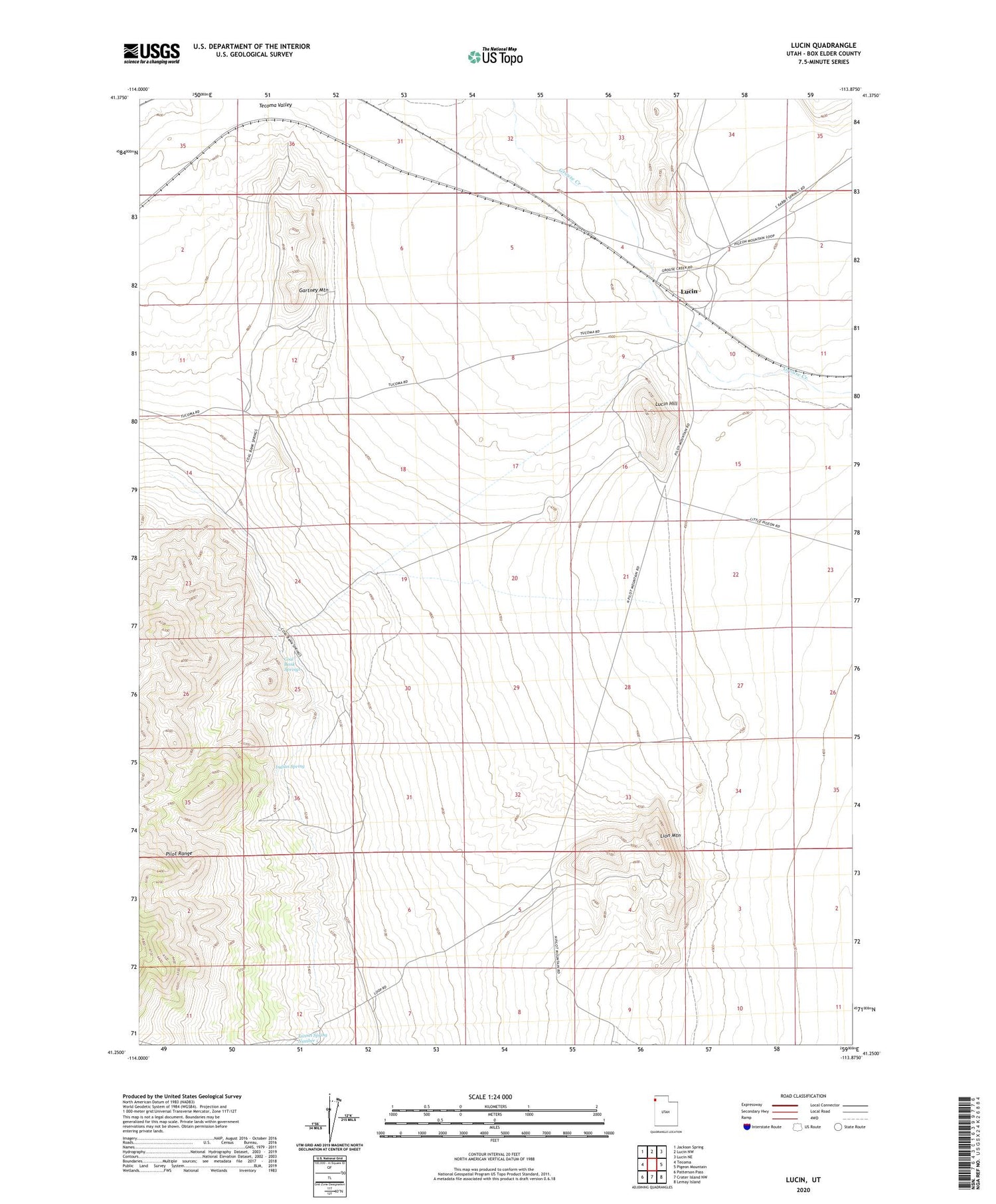
2020 topographic map quadrangle Lucin in the state of Utah. Scale: 1:24000. Based on the newly updated USGS 7.5' US Topo map series, this map is in the following counties: Box Elder. The map contains contour data, water features, and other items you are used to seeing on USGS maps, but also has updated roads and other features. This is the next generation of topographic maps. Printed on high-quality waterproof paper with UV fade-resistant inks.
Quads adjacent to this one:
West: Tecoma
Northwest: Jackson Spring
North: Lucin NW
Northeast: Lucin NE
East: Pigeon Mountain
Southeast: Lemay Island
South: Crater Island NW
Southwest: Patterson Pass
Contains the following named places: Coal Bank Springs, Gartney Mountain, Indian Spring, Lion Mountain, Lucin, Lucin Hill, Tecoma Valley, Thousand Springs Creek


