MyTopo
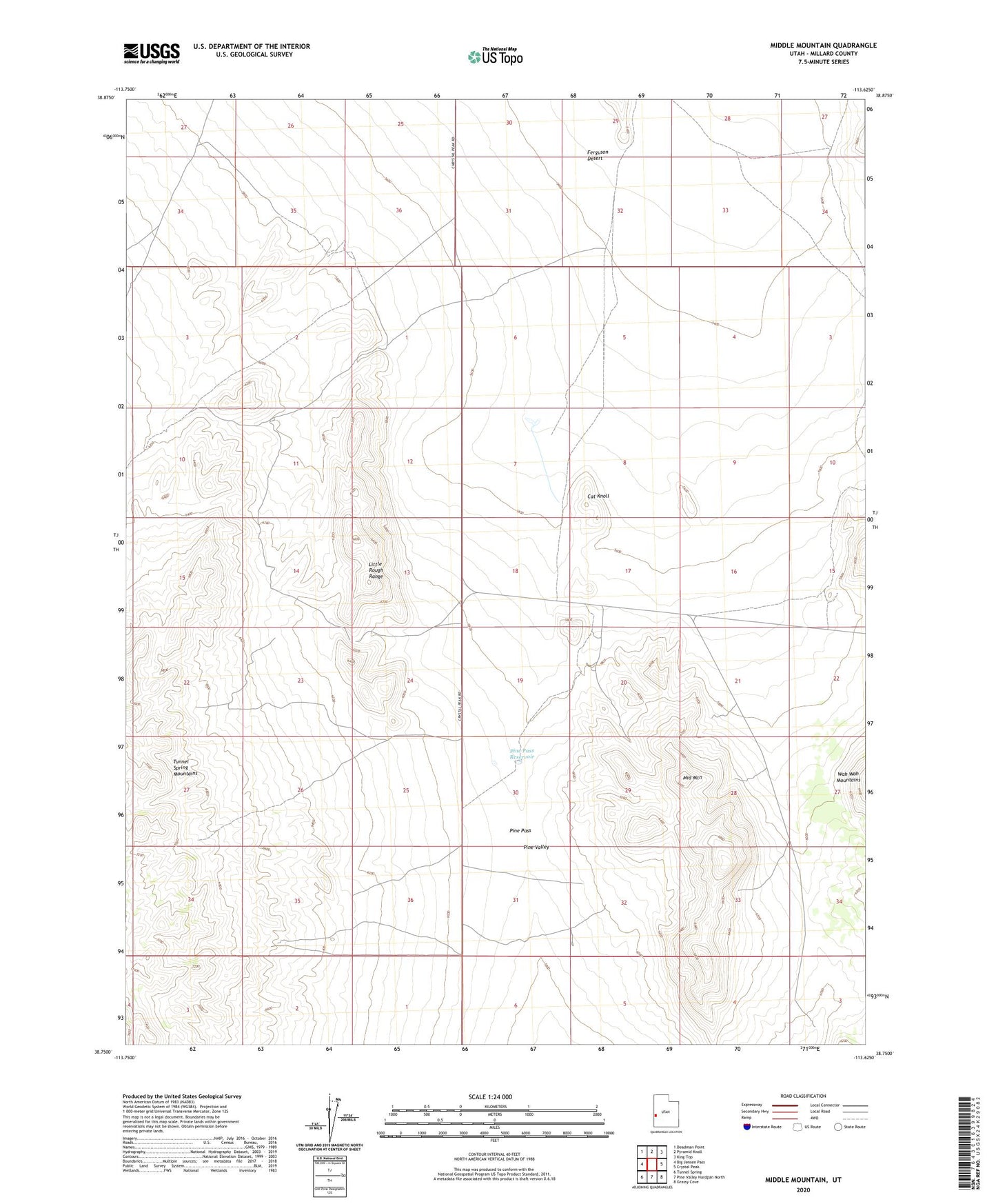
Middle Mountain Utah US Topo Map
Couldn't load pickup availability
Also explore the Middle Mountain Forest Service Topo of this same quad for updated USFS data
2023 topographic map quadrangle Middle Mountain in the state of Utah. Scale: 1:24000. Based on the newly updated USGS 7.5' US Topo map series, this map is in the following counties: Millard. The map contains contour data, water features, and other items you are used to seeing on USGS maps, but also has updated roads and other features. This is the next generation of topographic maps. Printed on high-quality waterproof paper with UV fade-resistant inks.
Quads adjacent to this one:
West: Big Jensen Pass
Northwest: Deadman Point
North: Pyramid Knoll
Northeast: King Top
East: Crystal Peak
Southeast: Grassy Cove
South: Pine Valley Hardpan North
Southwest: Tunnel Spring
This map covers the same area as the classic USGS quad with code o38113g6.
Contains the following named places: Cat Knoll, Little Rough Range, Middle Mountain, Pine Pass, Pine Pass Reservoir, Pine Valley