MyTopo
Nutters Hole Utah US Topo Map
Couldn't load pickup availability
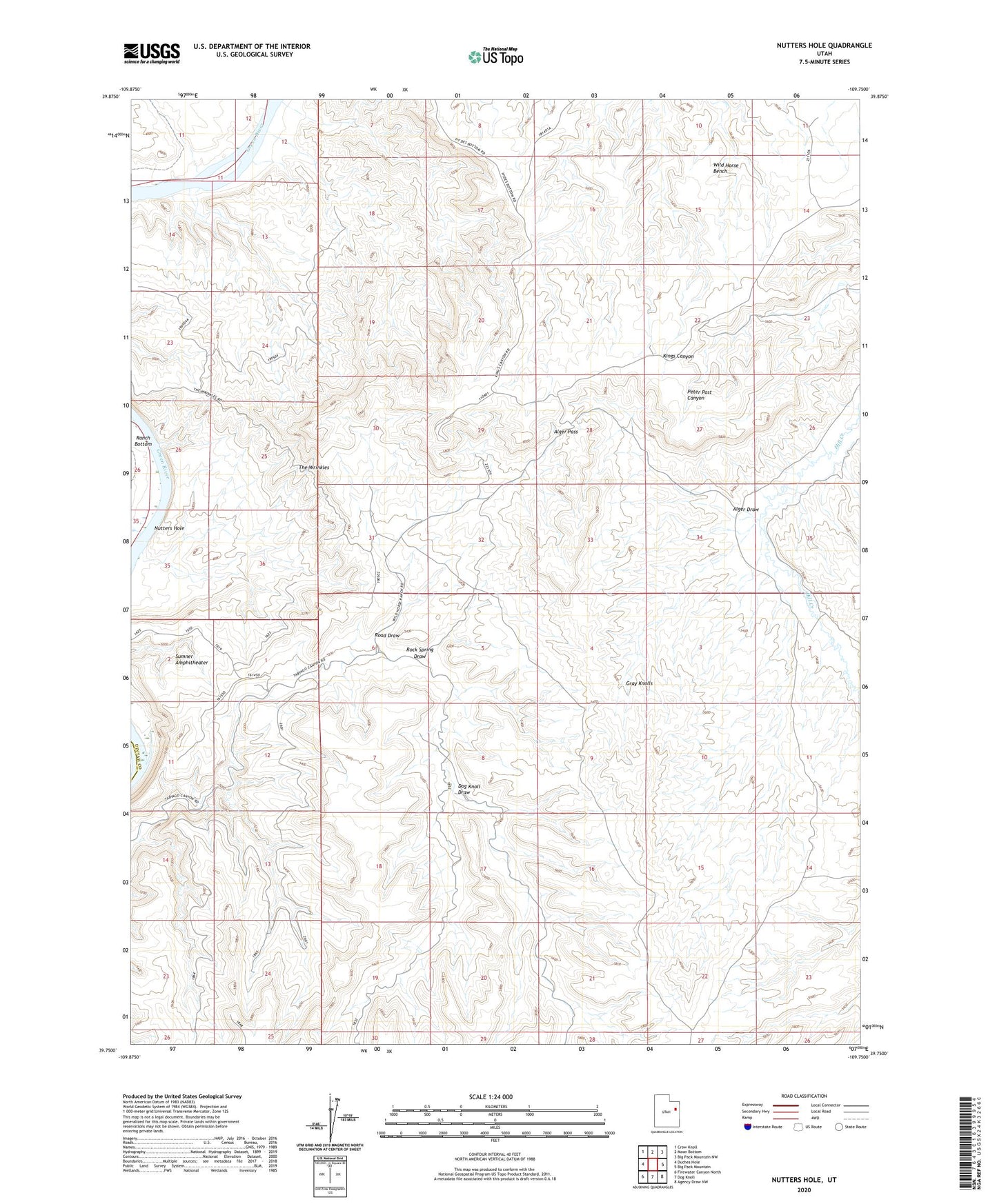
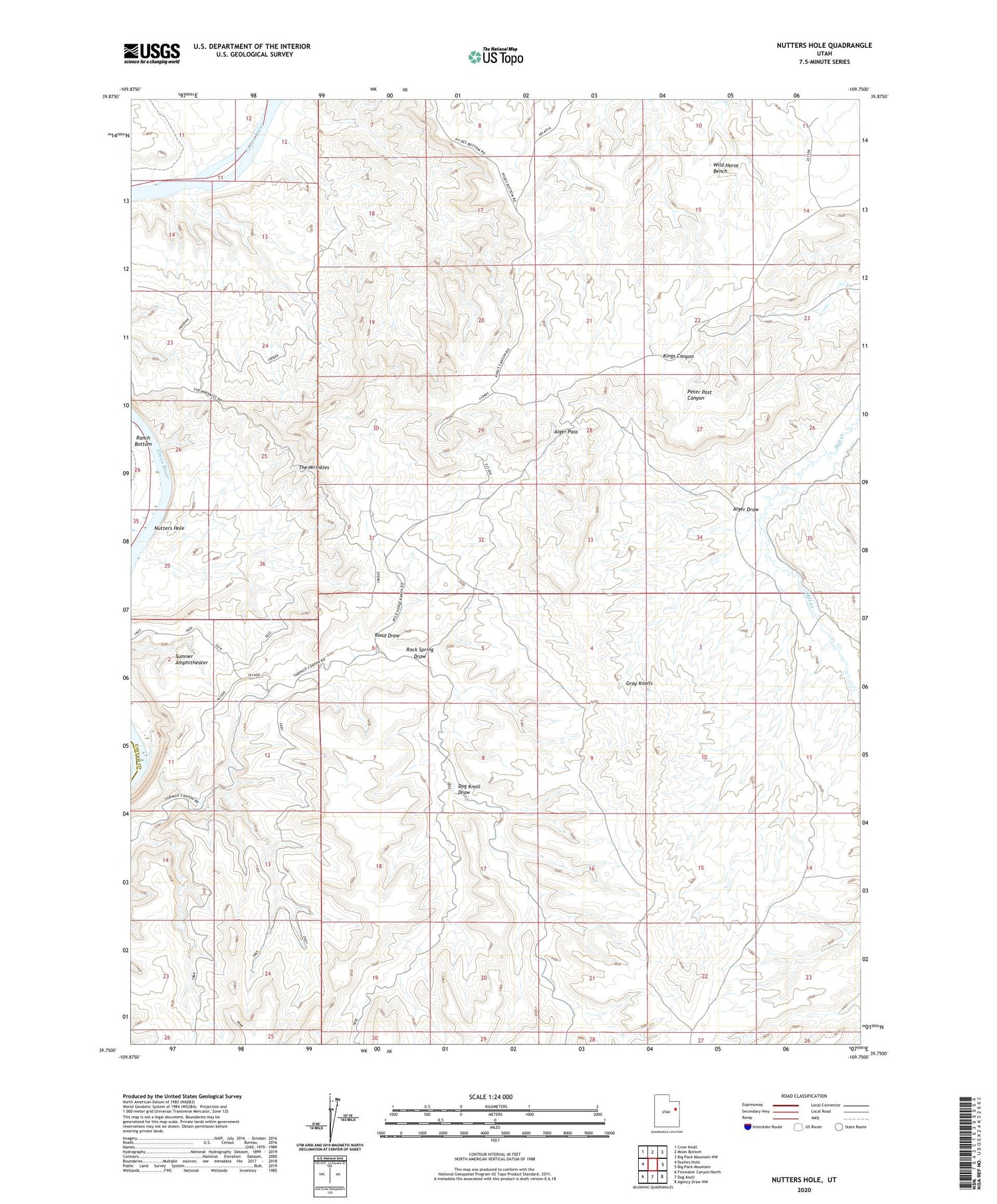
2020 topographic map quadrangle Nutters Hole in the state of Utah. Scale: 1:24000. Based on the newly updated USGS 7.5' US Topo map series, this map is in the following counties: Uintah, Carbon. The map contains contour data, water features, and other items you are used to seeing on USGS maps, but also has updated roads and other features. This is the next generation of topographic maps. Printed on high-quality waterproof paper with UV fade-resistant inks.
Quads adjacent to this one:
West: Duches Hole
Northwest: Crow Knoll
North: Moon Bottom
Northeast: Big Pack Mountain NW
East: Big Pack Mountain
Southeast: Agency Draw NW
South: Dog Knoll
Southwest: Firewater Canyon North
Contains the following named places: Alger Draw, Alger Pass, Dog Knoll Draw, Gray Knolls, Nutters Hole, Ranch Bottom, Road Draw, Rock Spring Draw, Sumner Amphitheater, The Wrinkles