MyTopo
Observation Knoll Utah US Topo Map
Couldn't load pickup availability
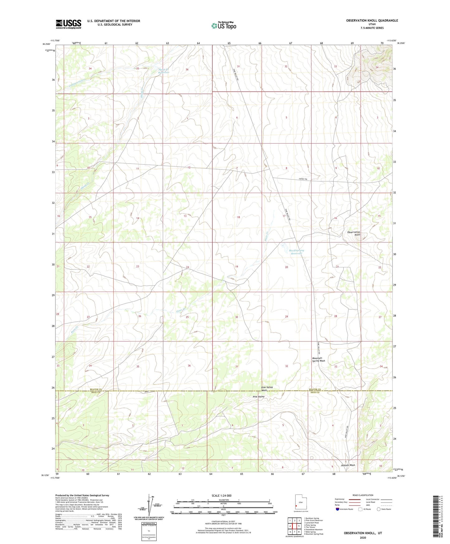
2020 topographic map quadrangle Observation Knoll in the state of Utah. Scale: 1:24000. Based on the newly updated USGS 7.5' US Topo map series, this map is in the following counties: Beaver, Iron. The map contains contour data, water features, and other items you are used to seeing on USGS maps, but also has updated roads and other features. This is the next generation of topographic maps. Printed on high-quality waterproof paper with UV fade-resistant inks.
Quads adjacent to this one:
West: Pinto Spring
Northwest: Buckhorn Spring
North: Pine Grove Reservoir
Northeast: Lamerdorf Peak
East: The Tetons
Southeast: Mountain Spring Peak
South: Bible Spring
Southwest: Steamboat Mountain
Contains the following named places: Cottonwood Creek, Jackson Wash, Mackleprang Reservoir, Observation Knoll, Pinto Creek, Sheep Creek Reservoir