MyTopo
Pinto Spring Utah US Topo Map
Couldn't load pickup availability
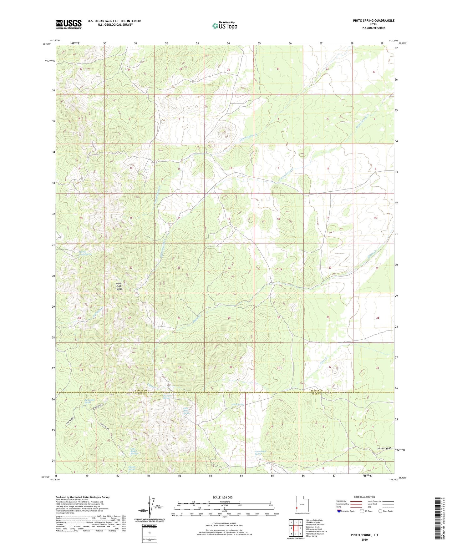
2023 topographic map quadrangle Pinto Spring in the state of Utah. Scale: 1:24000. Based on the newly updated USGS 7.5' US Topo map series, this map is in the following counties: Beaver, Iron. The map contains contour data, water features, and other items you are used to seeing on USGS maps, but also has updated roads and other features. This is the next generation of topographic maps. Printed on high-quality waterproof paper with UV fade-resistant inks.
Quads adjacent to this one:
West: Atchison Creek
Northwest: Miners Cabin Wash
North: Buckhorn Spring
Northeast: Pine Grove Reservoir
East: Observation Knoll
Southeast: Bible Spring
South: Steamboat Mountain
Southwest: Steamboat Mountain SW
This map covers the same area as the classic USGS quad with code o38113b7.
Contains the following named places: Arrowhead Spring, Big Basket Spring, Big Pinto Spring, Cougar Spar Mine, Dugout Mine, Holt Bluebell Mine, J B Mine, Little Basket Springs, Little Pinto Spring, Merrils Camp Spring, New Arrowhead Mine, Noonday Mine, Pinto Spring, Pipeline Spring, Utah Mine