MyTopo
Red Pass Utah US Topo Map
Couldn't load pickup availability
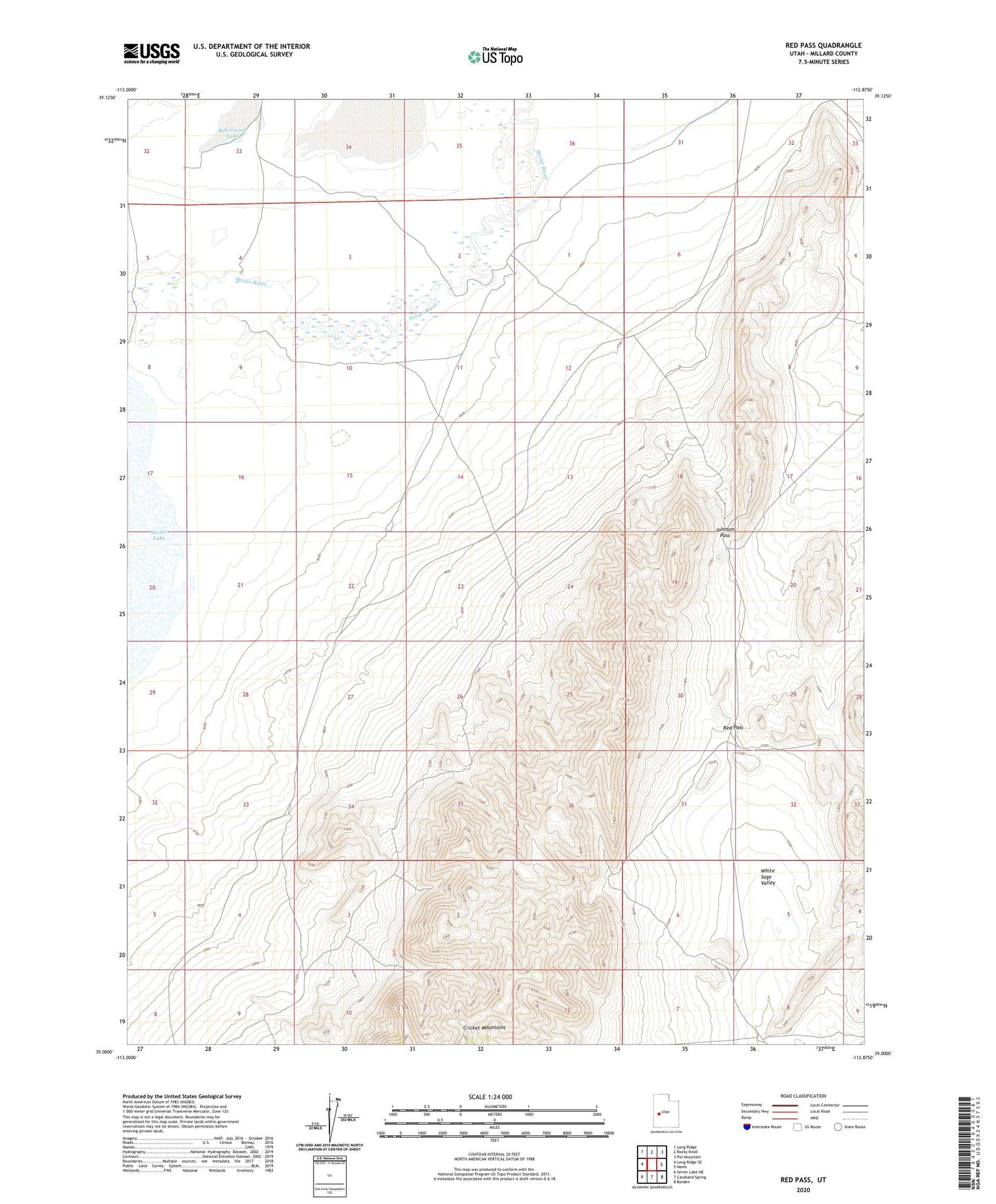
2023 topographic map quadrangle Red Pass in the state of Utah. Scale: 1:24000. Based on the newly updated USGS 7.5' US Topo map series, this map is in the following counties: Millard. The map contains contour data, water features, and other items you are used to seeing on USGS maps, but also has updated roads and other features. This is the next generation of topographic maps. Printed on high-quality waterproof paper with UV fade-resistant inks.
Quads adjacent to this one:
West: Long Ridge SE
Northwest: Long Ridge
North: Rocky Knoll
Northeast: Pot Mountain
East: Neels
Southeast: Borden
South: Candland Spring
Southwest: Sevier Lake NE
This map covers the same area as the classic USGS quad with code o39112a8.
Contains the following named places: Bitterweed Lake, Cricket Mountains, Johnson Pass, Red Pass, White Sage Valley