MyTopo
Skyline Rim Utah US Topo Map
Couldn't load pickup availability
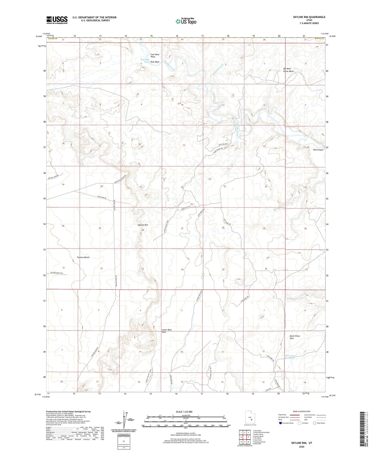
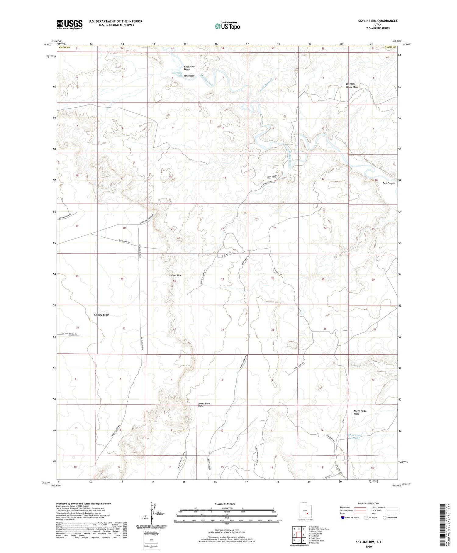
2020 topographic map quadrangle Skyline Rim in the state of Utah. Scale: 1:24000. Based on the newly updated USGS 7.5' US Topo map series, this map is in the following counties: Wayne, Emery. The map contains contour data, water features, and other items you are used to seeing on USGS maps, but also has updated roads and other features. This is the next generation of topographic maps. Printed on high-quality waterproof paper with UV fade-resistant inks.
Quads adjacent to this one:
West: Factory Butte
Northwest: Hunt Draw
North: Little Wild Horse Mesa
Northeast: Goblin Valley
East: The Notch
Southeast: Hanksville
South: Steamboat Point
Southwest: Town Point
Contains the following named places: Big Wild Horse Mesa, Coal Mine Wash, Factory Bench, Lower Blue Hills, Red Canyon, Skyline Rim, Tank Wash, White Rock Reservoir, Wild Horse Creek