MyTopo
Slader Basin Utah US Topo Map
Couldn't load pickup availability
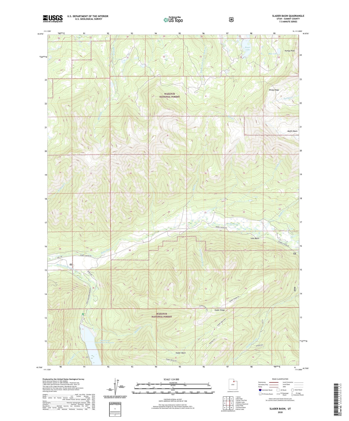
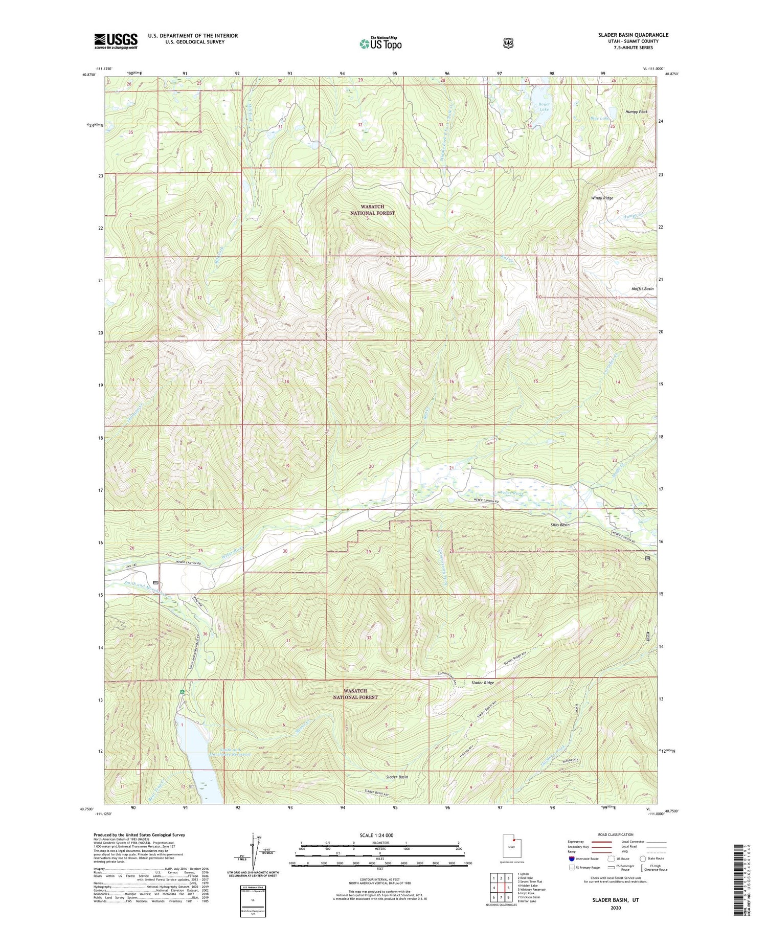
2020 topographic map quadrangle Slader Basin in the state of Utah. Scale: 1:24000. Based on the newly updated USGS 7.5' US Topo map series, this map is in the following counties: Summit. The map contains contour data, water features, and other items you are used to seeing on USGS maps, but also has updated roads and other features. This is the next generation of topographic maps. Printed on high-quality waterproof paper with UV fade-resistant inks.
Quads adjacent to this one:
West: Hidden Lake
Northwest: Upton
North: Red Hole
Northeast: Seven Tree Flat
East: Whitney Reservoir
Southeast: Mirror Lake
South: Erickson Basin
Southwest: Hoyt Peak
Contains the following named places: Aspen Grove Campground, Bear Trap Creek, Blue Lake, Boyer Lake, Commissary Fork, Humpy Peak, Larrabee Creek, Moffit Basin, Moffit Creek, Red Creek, Silks Basin, Slader Basin, Slader Creek, Slader Ridge, Smith and Morehouse Campground, Smith and Morehouse Dam, Smith and Morehouse Reservoir, Thousand Peaks Ranch, Windy Ridge