MyTopo
Upton Utah US Topo Map
Couldn't load pickup availability
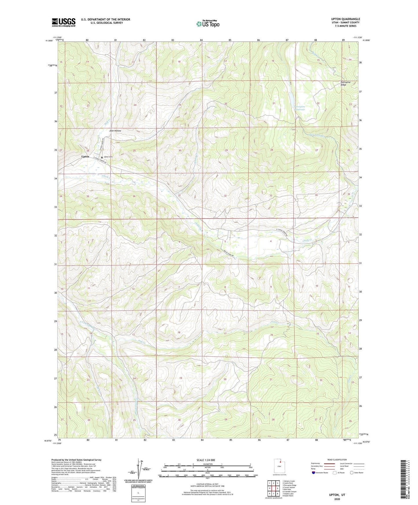
2023 topographic map quadrangle Upton in the state of Utah. Scale: 1:24000. Based on the newly updated USGS 7.5' US Topo map series, this map is in the following counties: Summit. The map contains contour data, water features, and other items you are used to seeing on USGS maps, but also has updated roads and other features. This is the next generation of topographic maps. Printed on high-quality waterproof paper with UV fade-resistant inks.
Quads adjacent to this one:
West: Turner Hollow
Northwest: Heiners Creek
North: Castle Rock
Northeast: Porcupine Ridge
East: Red Hole
Southeast: Slader Basin
South: Hidden Lake
Southwest: Crandall Canyon
This map covers the same area as the classic USGS quad with code o40111h2.
Contains the following named places: Branch Creek, Coalville Division, Fish Creek, Huff Creek, Josh Hollow, Morby Creek, Pineview, Porcupine Creek, Porcupine Reservoir, The Church of Jesus Christ of Latter Day Saints, Upton, Upton Cemetery, ZIP Code: 84017