MyTopo
Timpie Utah US Topo Map
Couldn't load pickup availability
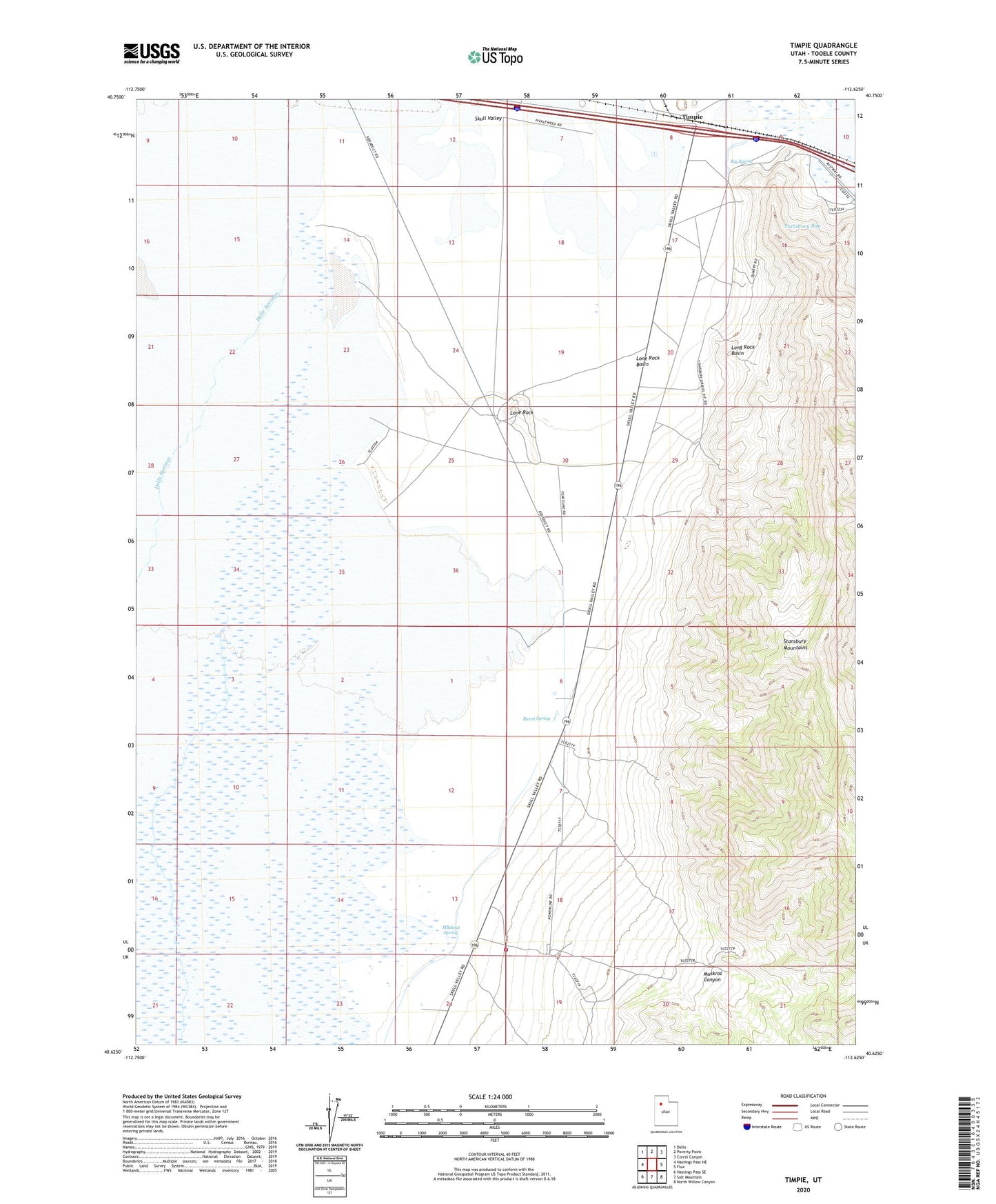
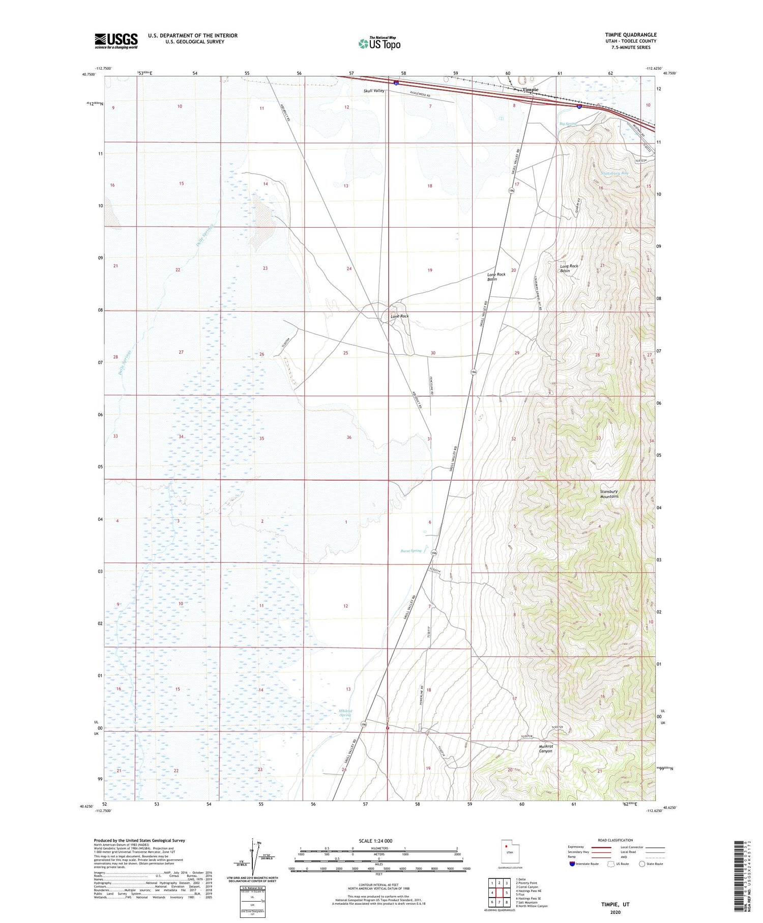
2020 topographic map quadrangle Timpie in the state of Utah. Scale: 1:24000. Based on the newly updated USGS 7.5' US Topo map series, this map is in the following counties: Tooele. The map contains contour data, water features, and other items you are used to seeing on USGS maps, but also has updated roads and other features. This is the next generation of topographic maps. Printed on high-quality waterproof paper with UV fade-resistant inks.
Quads adjacent to this one:
West: Hastings Pass NE
Northwest: Delle
North: Poverty Point
Northeast: Corral Canyon
East: Flux
Southeast: North Willow Canyon
South: Salt Mountain
Southwest: Hastings Pass SE
Contains the following named places: Big Spring, Bureau Land Management Fire Station Muskrat Center, Burnt Spring, Delle Springs, Lone Rock, Lone Rock Basin, Long Rock Basin, Muskrat Canyon, Muskrat Spring, Skull Valley, Timpie, ZIP Code: 84029