MyTopo
Turtle Canyon Utah US Topo Map
Couldn't load pickup availability
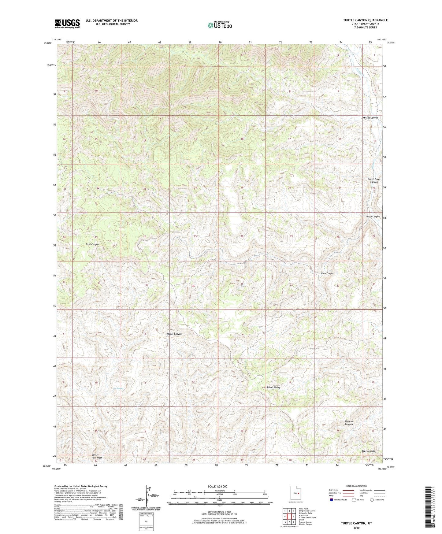
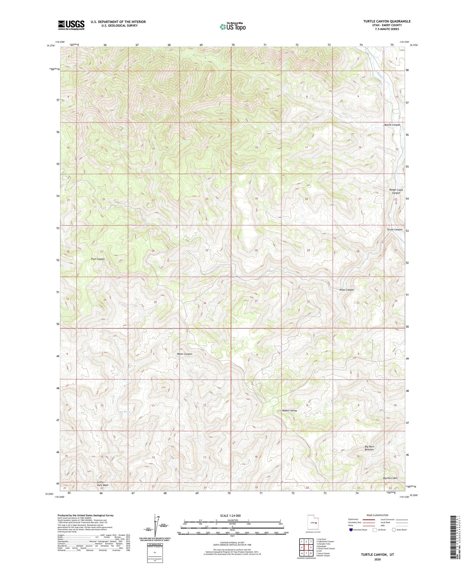
2020 topographic map quadrangle Turtle Canyon in the state of Utah. Scale: 1:24000. Based on the newly updated USGS 7.5' US Topo map series, this map is in the following counties: Emery. The map contains contour data, water features, and other items you are used to seeing on USGS maps, but also has updated roads and other features. This is the next generation of topographic maps. Printed on high-quality waterproof paper with UV fade-resistant inks.
Quads adjacent to this one:
West: Woodside
Northwest: Lila Point
North: Lighthouse Canyon
Northeast: Chandler Falls
East: Three Fords Canyon
Southeast: Butler Canyon
South: Jenny Canyon
Southwest: Cliff
Contains the following named places: Joe Spring, Mitchs Canyon, Pilling Ranch, Turtle Canyon, Wilcox Ranch, Xmas Canyon