MyTopo
Walker Point Utah US Topo Map
Couldn't load pickup availability
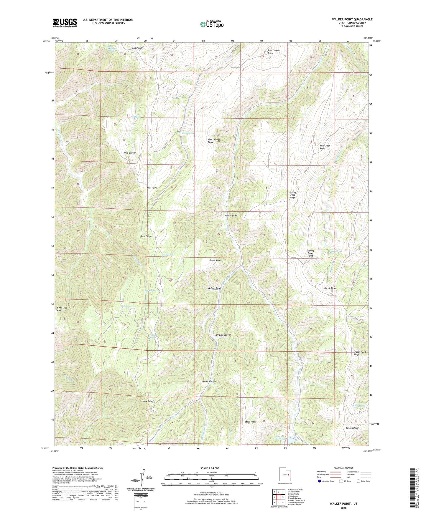
2020 topographic map quadrangle Walker Point in the state of Utah. Scale: 1:24000. Based on the newly updated USGS 7.5' US Topo map series, this map is in the following counties: Grand. The map contains contour data, water features, and other items you are used to seeing on USGS maps, but also has updated roads and other features. This is the next generation of topographic maps. Printed on high-quality waterproof paper with UV fade-resistant inks.
Quads adjacent to this one:
West: Lion Canyon
Northwest: Moonwater Point
North: Chicken Fork
Northeast: Black Knolls
East: Supply Canyon
Southeast: Bogart Canyon
South: Floy Canyon North
Southwest: Bobby Canyon North
Contains the following named places: Bear Trap Knoll, Beaver Canyon, Big Spring, Bolon Spring, Crib Spring, Dry Fork, Florence Spring, Hill Creek Point, Hill Creek Ranger Station, Hill Creek Youth Camp, Jack Spring, Jennie Canyon, Little Mountain Spring, Marble Spring, Nelson Draw, Post Canyon Point, Post Canyon Ridge, Seeley Spring, Spring Creek Point, Spring Creek Ridge, Steer Ridge, Sunrise Dugway, Toad Point, Uintah and Ouray Division, Wagon Road Ridge, Walker Draw, Walker Point, Weaver Reservoir, West Fork Hill Creek, West Point, West Spring, Wilcox Point