MyTopo
Floy Canyon North Utah US Topo Map
Couldn't load pickup availability
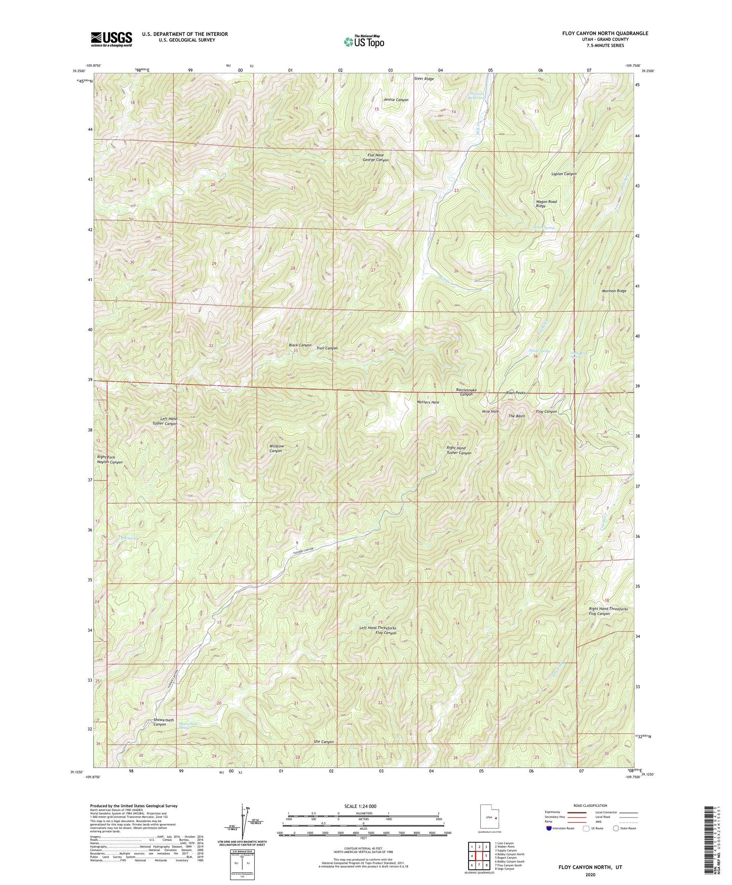
2023 topographic map quadrangle Floy Canyon North in the state of Utah. Scale: 1:24000. Based on the newly updated USGS 7.5' US Topo map series, this map is in the following counties: Grand. The map contains contour data, water features, and other items you are used to seeing on USGS maps, but also has updated roads and other features. This is the next generation of topographic maps. Printed on high-quality waterproof paper with UV fade-resistant inks.
Quads adjacent to this one:
West: Bobby Canyon North
Northwest: Lion Canyon
North: Walker Point
Northeast: Supply Canyon
East: Bogart Canyon
Southeast: Sego Canyon
South: Floy Canyon South
Southwest: Bobby Canyon South
This map covers the same area as the classic USGS quad with code o39109b7.
Contains the following named places: Black Canyon, Nine Hole, Nutters Hole, Pioche Spring, Red Spring, Roan Peaks, Showerbath Canyon, Showerbath Spring, Sunset Dugway, Table Rock Spring, The Basin, Trail Canyon, Wilcox Spring