MyTopo
Yale Crossing Utah US Topo Map
Couldn't load pickup availability
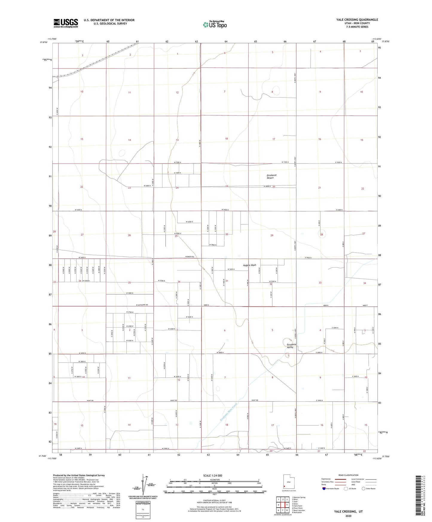
2020 topographic map quadrangle Yale Crossing in the state of Utah. Scale: 1:24000. Based on the newly updated USGS 7.5' US Topo map series, this map is in the following counties: Iron. The map contains contour data, water features, and other items you are used to seeing on USGS maps, but also has updated roads and other features. This is the next generation of topographic maps. Printed on high-quality waterproof paper with UV fade-resistant inks.
Quads adjacent to this one:
West: Heist
Northwest: Bannion Spring
North: Beryl
Northeast: Zane
East: Clark Farm
Southeast: Newcastle
South: Beryl Junction
Southwest: Pinon Point
Contains the following named places: Auston Well, Beryl-Newcastle Division, Bridle Well, Hogans Wash, Yale Crossing, ZIP Code: 84714