MyTopo
Beryl Junction Utah US Topo Map
Couldn't load pickup availability
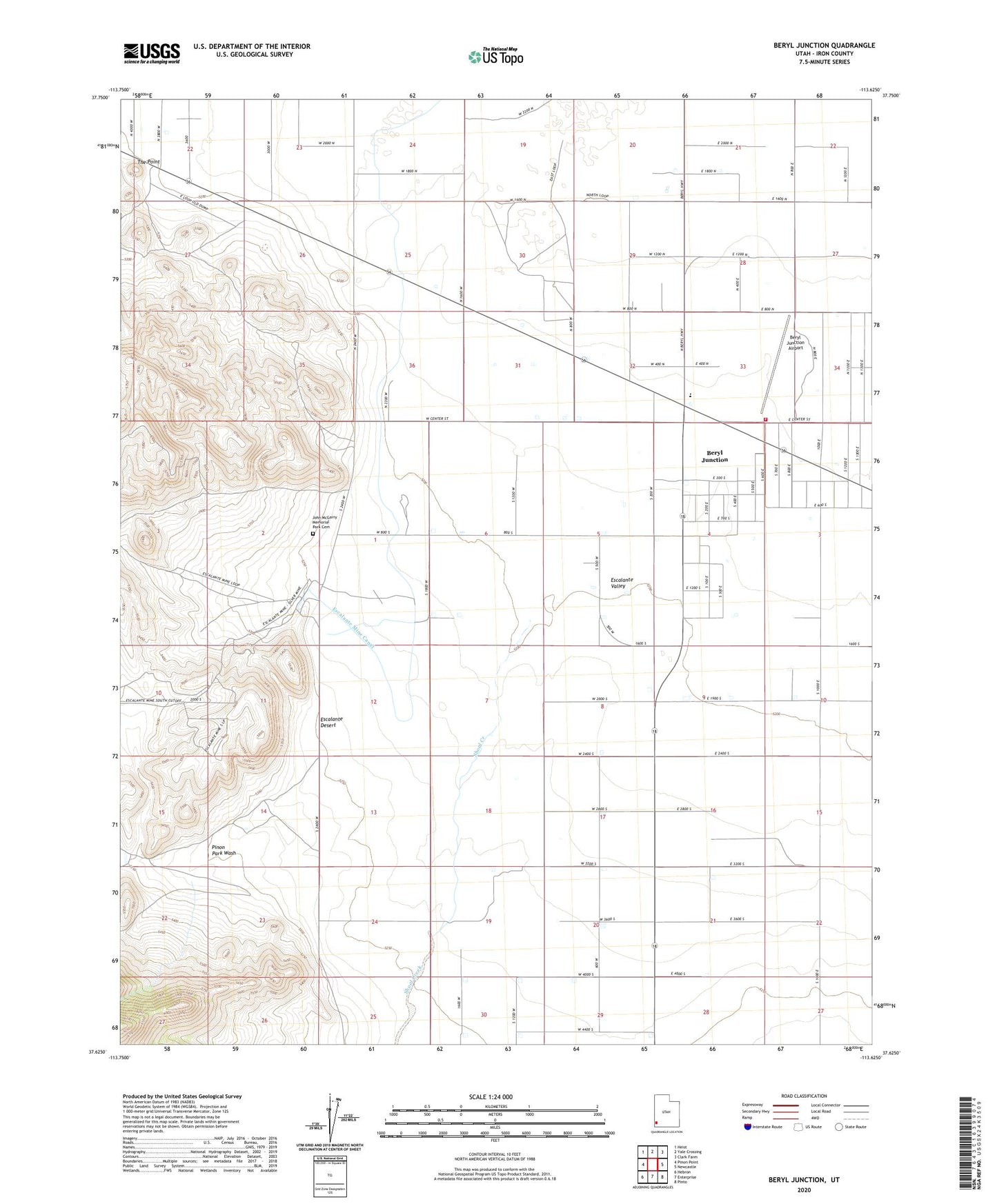
2023 topographic map quadrangle Beryl Junction in the state of Utah. Scale: 1:24000. Based on the newly updated USGS 7.5' US Topo map series, this map is in the following counties: Iron. The map contains contour data, water features, and other items you are used to seeing on USGS maps, but also has updated roads and other features. This is the next generation of topographic maps. Printed on high-quality waterproof paper with UV fade-resistant inks.
Quads adjacent to this one:
West: Pinon Point
Northwest: Heist
North: Yale Crossing
Northeast: Clark Farm
East: Newcastle
Southeast: Pinto
South: Enterprise
Southwest: Hebron
This map covers the same area as the classic USGS quad with code o37113f6.
Contains the following named places: Beryl Baptist Church, Beryl Fire Department, Beryl Junction, Beryl Junction Airport, Beryl Junction Census Designated Place, Escalante Mine, Escalante Mine Canal, Escalante Valley Elementary School, John McGarry Memorial Park Cemetery, Pinon Park Wash, Shoal Creek, The Point