MyTopo
Beryl Utah US Topo Map
Couldn't load pickup availability
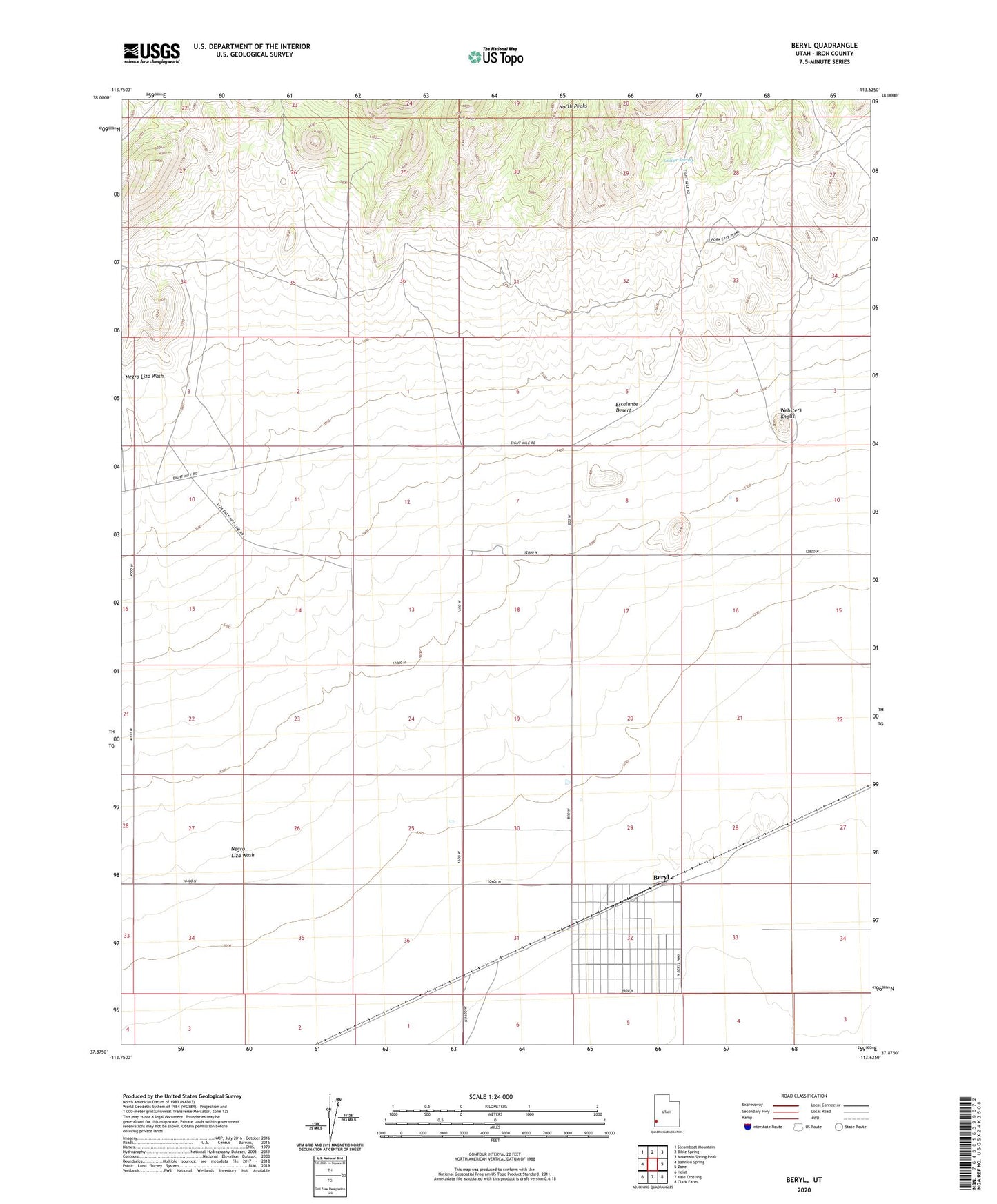
2023 topographic map quadrangle Beryl in the state of Utah. Scale: 1:24000. Based on the newly updated USGS 7.5' US Topo map series, this map is in the following counties: Iron. The map contains contour data, water features, and other items you are used to seeing on USGS maps, but also has updated roads and other features. This is the next generation of topographic maps. Printed on high-quality waterproof paper with UV fade-resistant inks.
Quads adjacent to this one:
West: Bannion Spring
Northwest: Steamboat Mountain
North: Bible Spring
Northeast: Mountain Spring Peak
East: Zane
Southeast: Clark Farm
South: Yale Crossing
Southwest: Heist
This map covers the same area as the classic USGS quad with code o37113h6.
Contains the following named places: Beryl, Culver Spring, Negro Liza Wash, Websters Knolls