MyTopo
Bracey Virginia US Topo Map
Couldn't load pickup availability
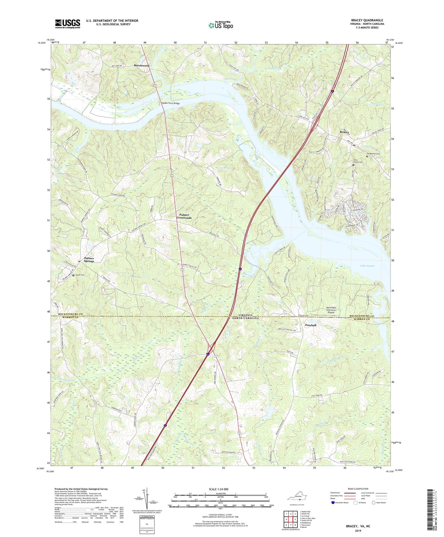
2019 topographic map quadrangle Bracey in the states of Virginia, North Carolina. Scale: 1:24000. Based on the newly updated USGS 7.5' US Topo map series, this map is in the following counties: Mecklenburg, Warren. The map contains contour data, water features, and other items you are used to seeing on USGS maps, but also has updated roads and other features. This is the next generation of topographic maps. Printed on high-quality waterproof paper with UV fade-resistant inks.
Quads adjacent to this one:
West: John H Kerr Dam
Northwest: Baskerville
North: South Hill
Northeast: La Crosse
East: South Hill SE
Southeast: Macon
South: Warrenton
Southwest: Middleburg
Contains the following named places: Beaver Pond, Beechwood, Bethlehem Church, Blue Mud Creek, Bracey, Bracey Post Office, Bracy Station, Cabin Branch, Caroll Boyd School, Coleman Branch, Cotton Creek, Cotton Creek School, Flat Creek, Goodes Ferry Bridge, Grace Cemetery, Grace Church, Hawtree Creek, Hewey Creek, Jerusalem Church, Kingswood Cemetery, Kingswood Church, Locust Grove Church, Malones Creek, Martindale Executive Airpark, Miles Creek, Newmans Creek, North Warren High School, Palmer Crossroads, Palmer Springs, Palmer Springs Volunteer Fire Department Company 6, Parham Creek, Paschall, Penuel Church, Red Lawn School, Reedy Branch, River Ridge Dam, River Ridge Pond, Roanoke Chapel, Roanoke School, Roanoke Zion Church, Rocky Branch, Saint Johns School, Saint Marks Cemetery, Saint Tammany Ferry, Smith Creek, Southside School, Tazewell, Terrapin Creek, Whitby, ZIP Code: 23919