MyTopo
Dillwyn Virginia US Topo Map
Couldn't load pickup availability
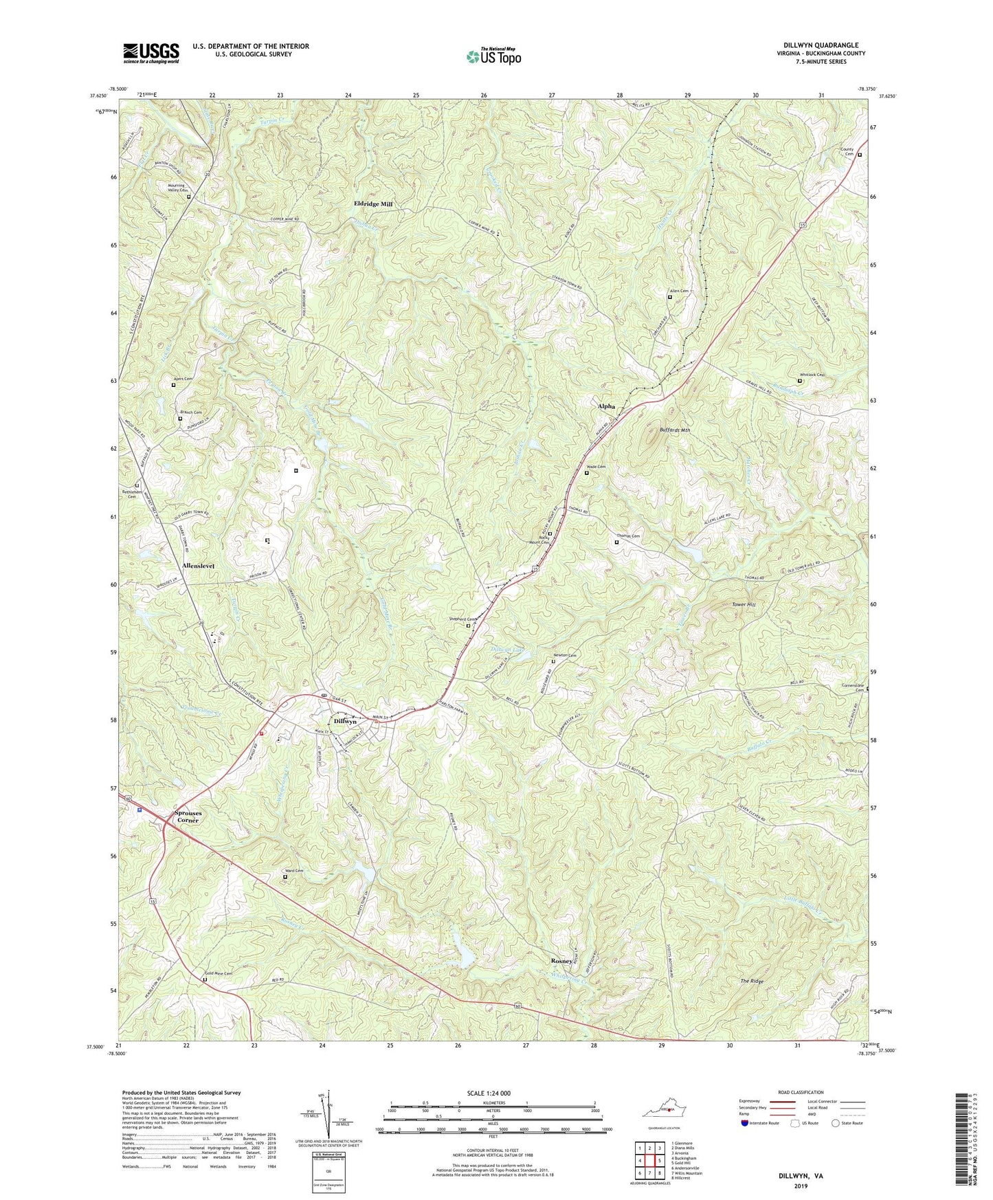
2019 topographic map quadrangle Dillwyn in the state of Virginia. Scale: 1:24000. Based on the newly updated USGS 7.5' US Topo map series, this map is in the following counties: Buckingham. The map contains contour data, water features, and other items you are used to seeing on USGS maps, but also has updated roads and other features. This is the next generation of topographic maps. Printed on high-quality waterproof paper with UV fade-resistant inks.
Quads adjacent to this one:
West: Buckingham
Northwest: Glenmore
North: Diana Mills
Northeast: Arvonia
East: Gold Hill
Southeast: Hillcrest
South: Willis Mountain
Southwest: Andersonville
Contains the following named places: Allen Cemetery, Allenslevel, Alpha, Ayers Cemetery, Bethlehem Cemetery, Bethlehem Church, Branch Cemetery, Buckingham Baptist Church Cemetery, Buckingham Correctional Center, Buckingham County Volunteer Rescue Squad Station 19, Buffards Mountain, County Church, Deep Bottom School, Dillwyn, Dillwyn Correctional Center, Dillwyn Elementary School, Dillwyn Lake, Dillwyn Post Office, Dillwyn Primary School, Dillwyn Volunteer Fire Department, District 2, Eldridge Mill, Ellis School, Flat Creek, Gold Mine Branch, Gold Mine Cemetery, Gold Mine Church, Hanes Chapel, Johnson Station, Kennedys Dam, Kennedys Pond, Lick Branch, Mount Olive Church, Mourning Valley Cemetery, Mourning Valley Church, Mourning Valley School, Newton Cemetery, Peyton Creek, Rocky Mount Church, Rocky Mount United Methodist Church Cemetery, Rosney, Rosney Creek, Shepherd Cemetery, Sprouses Corner, The Ridge, Thomas Cemetery, Thomas-Oliver School, Tower Branch, Tower Hill, Town of Dillwyn, Virginia State Police Division 3 Area 19 Office, Wade Cemetery, Ward Cemetery, Whitlock Cemetery, Willis River Number 5e Dam, Woodson High School, ZIP Code: 23936