MyTopo
Gold Hill Virginia US Topo Map
Couldn't load pickup availability
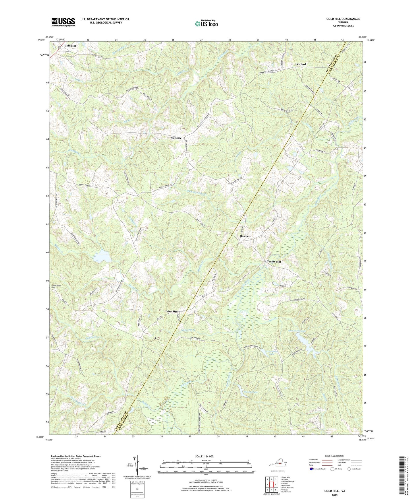
2022 topographic map quadrangle Gold Hill in the state of Virginia. Scale: 1:24000. Based on the newly updated USGS 7.5' US Topo map series, this map is in the following counties: Buckingham, Cumberland. The map contains contour data, water features, and other items you are used to seeing on USGS maps, but also has updated roads and other features. This is the next generation of topographic maps. Printed on high-quality waterproof paper with UV fade-resistant inks.
Quads adjacent to this one:
West: Dillwyn
Northwest: Diana Mills
North: Arvonia
Northeast: Lakeside Village
East: Whiteville
Southeast: Cumberland
South: Hillcrest
Southwest: Willis Mountain
This map covers the same area as the classic USGS quad with code o37078e3.
Contains the following named places: Arrowhead Lake, Arrowhead Lake Dam, Bear Creek, Bear Creek Lake, Bear Creek Lake State Park, Bear Creek State Park, Benelli Dam, Bob Branch, Bonbrook Creek, Bright Morning Star Church, Brown Chapel, Buck and Game Creek, Buckingham Female Collegiate Institute Historic District, Buffalo Creek, Cat Branch, Cedar Church, Chief Cornerstone Baptist Church Cemetery, Cornerstone Church, Cumberland State Forest, District 7, District 7 Gold Hill, Gold Hill, Gravel Hill, Halfway Creek, Hatcher, Hatcher Baptist Church, Hatcher Creek, Hatcher Methodist Church, Horn Quater Creek, Jones Chapel, Jones School, Lawford, Little Bear Creek, Little Buffalo Creek, Little Creek, Mount Olive Church, New Dominion School, New Hope Church, Nuckols, Oak Hill Lake, Oak Hill Lake Dam, Petersville Church, Petersville School, Rock Point Creek, Trents Mill, Trents Mill School, Union Hill, White Oak Branch, Willis River Number Seven Dam, Winston Lake, Winston Lake Dam, Zion Church, ZIP Code: 23040


